HOME
About
Staff
Board of Directors
Meeting Agendas & Minutes
2024 Annual Report
Price Schedule
Contact
Assistance Request
District Calendar
Soil Group Worksheets
Septic Replacement
Wayne County Soil & Water Conservation District
7312 Route 31 Lyons, NY 14489 / 315-946-7200
Menu
2025 Tree Sale
2025 Tree Sale Order Form
2025 Tree Catalog
Tree Sale Store
Programs
Ag Environmental Management (AEM)
Agriculture Drainage Assistance
Critical Area Seeding
Critical Seeding Photos
Case Studies
–Galen and Walworth
NYS Grown and Certified
Habitat Boxes & Other Conservation Items
Water Quality Assessments
Assessments
Recycle Event
Pond Management & Fish Sale
Triploid Grass Carp Stocking Permit
DEC Permit
Order Barley Straw
Septic System Replacement
Education
Conservation
NY Natural History Projects
Why is ag. conservation important?
Conservation Landscaping
What is Green Infrastructure?
Living with Beavers
Understanding Soil
Composting Slide Show
Water Diverter (Erosion Control)
Fun With Soils
Invasive Species
National Invasive Species Awareness Week
Finger Lakes PRISM
PLAY-Clean-GO
Invasive Species Guide & Fact Sheets
Invasive Species Activity Workbook
Integrated Pest Mgmt Database
K-12 Educator Resources
BMP – Biology / Control of Aquatics (.pdf)
Weed Ecology – Cornell Edu
For Educators
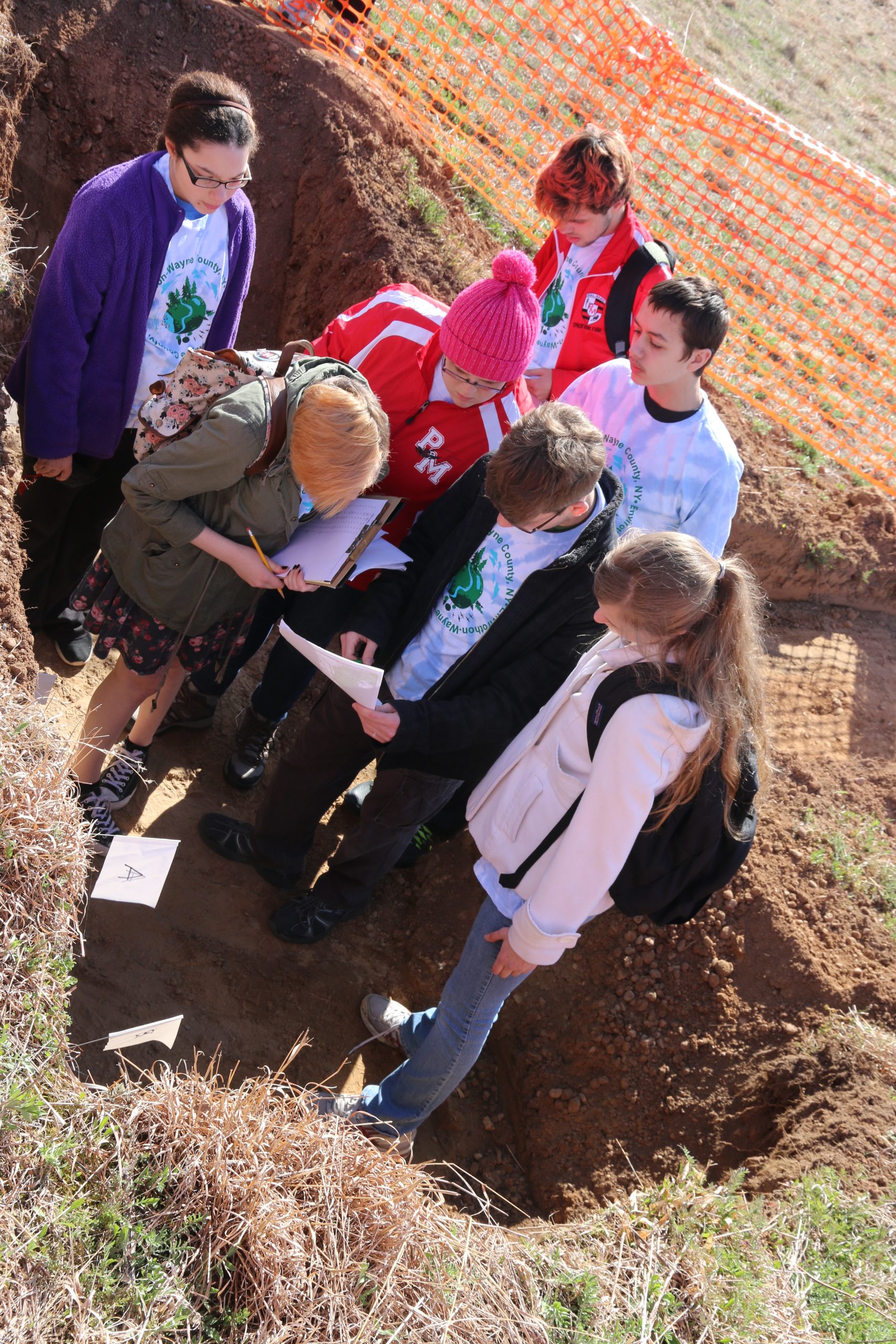
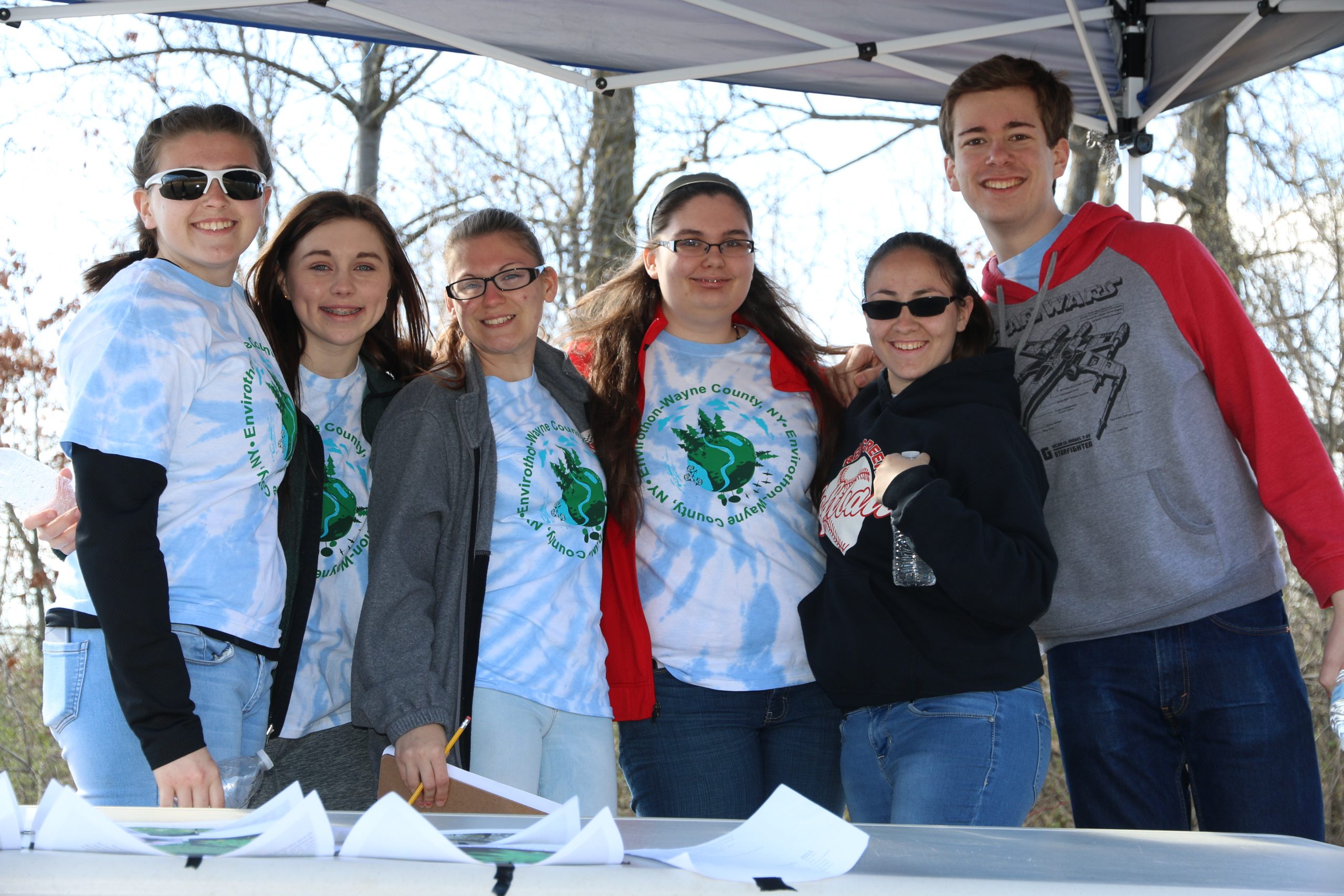
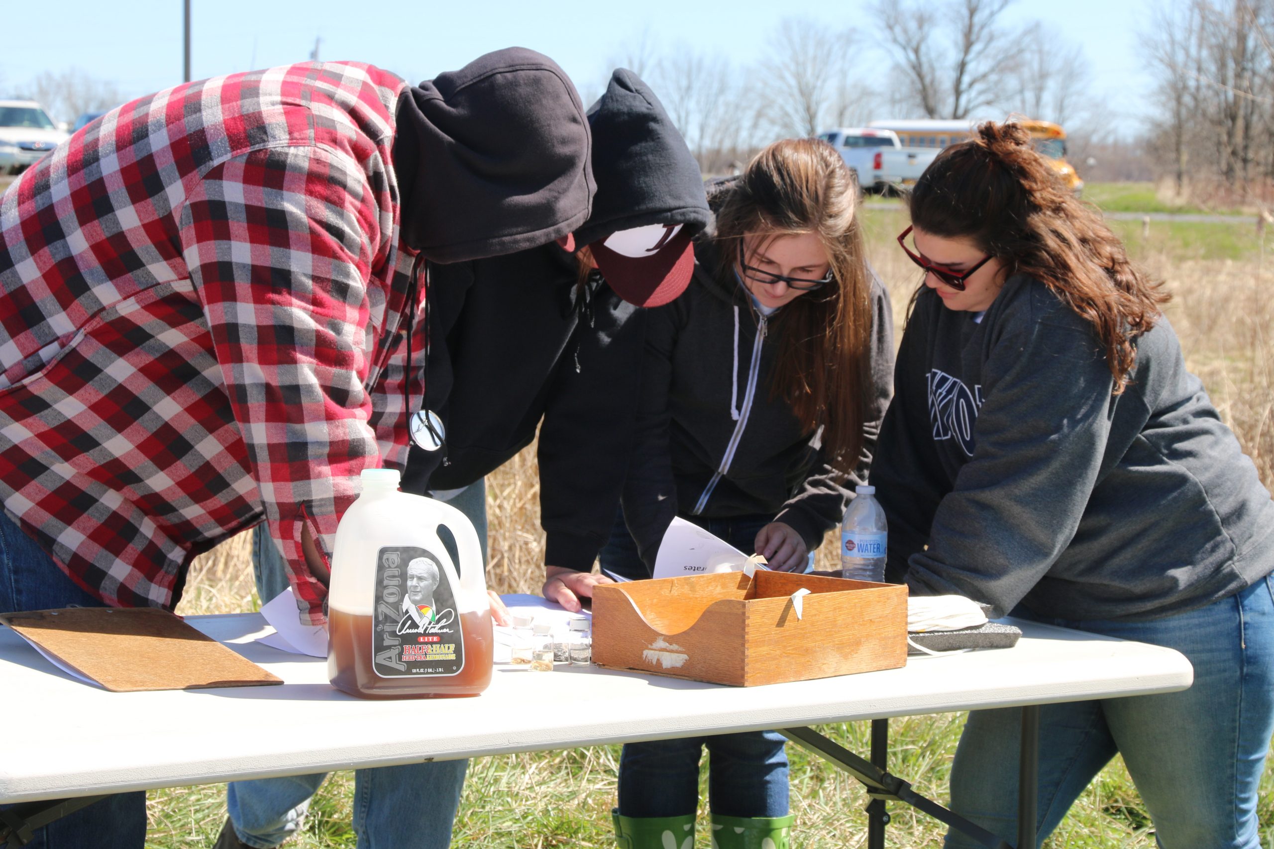
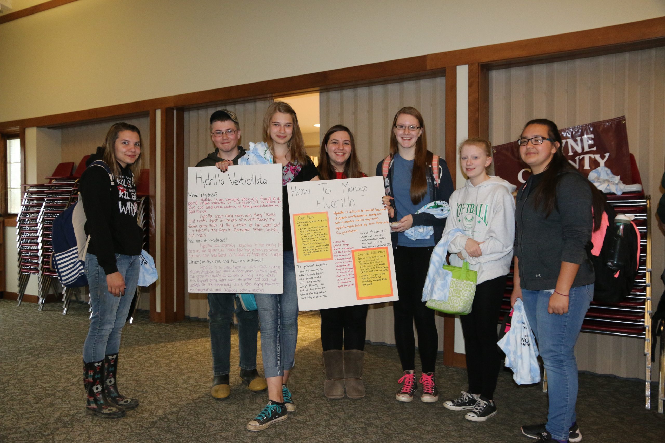
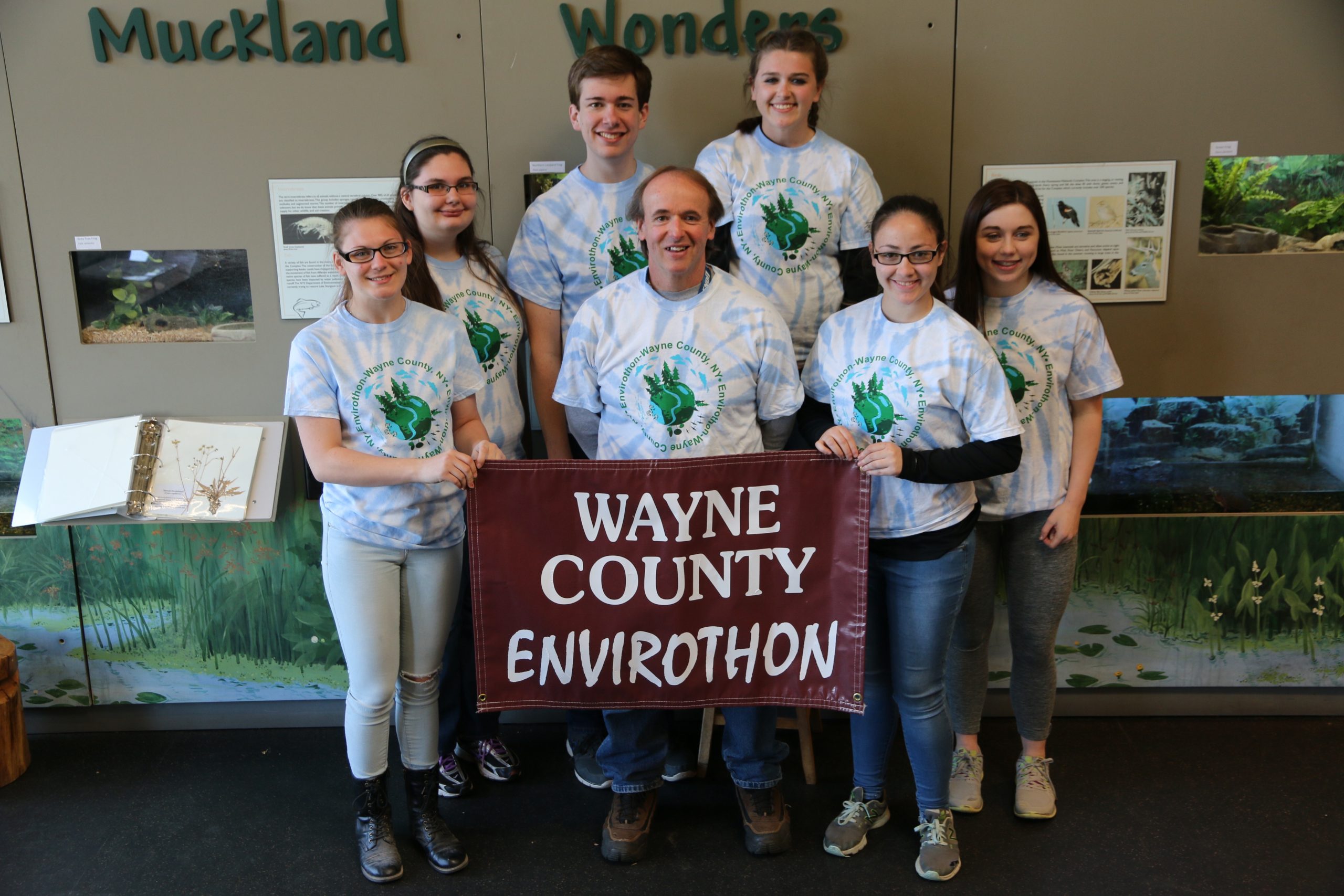
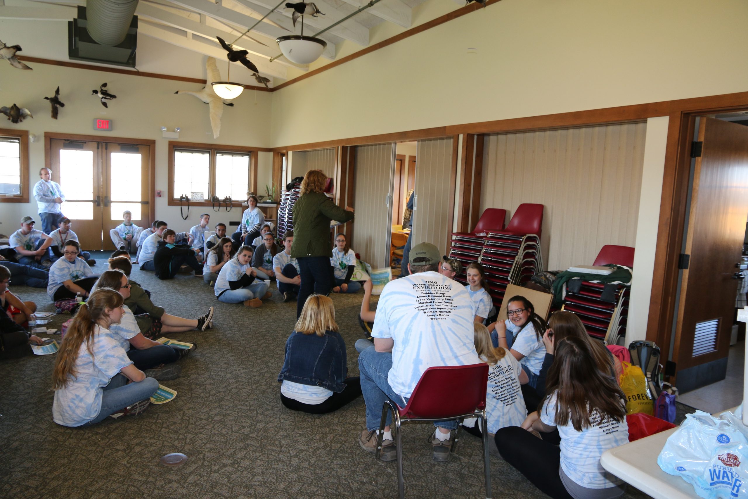
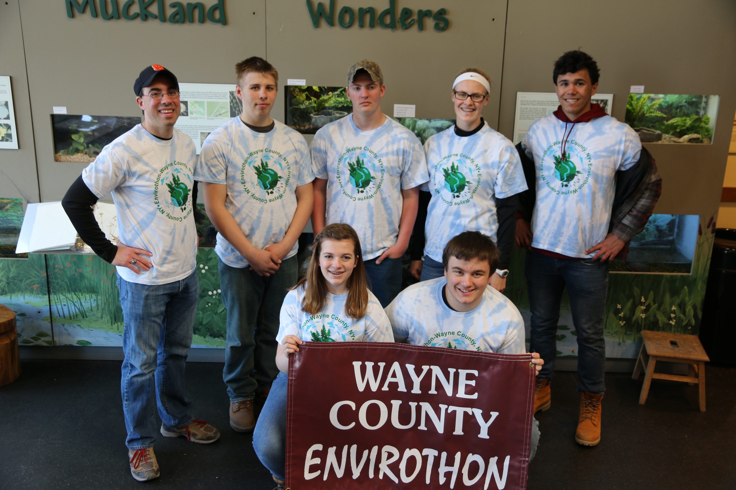
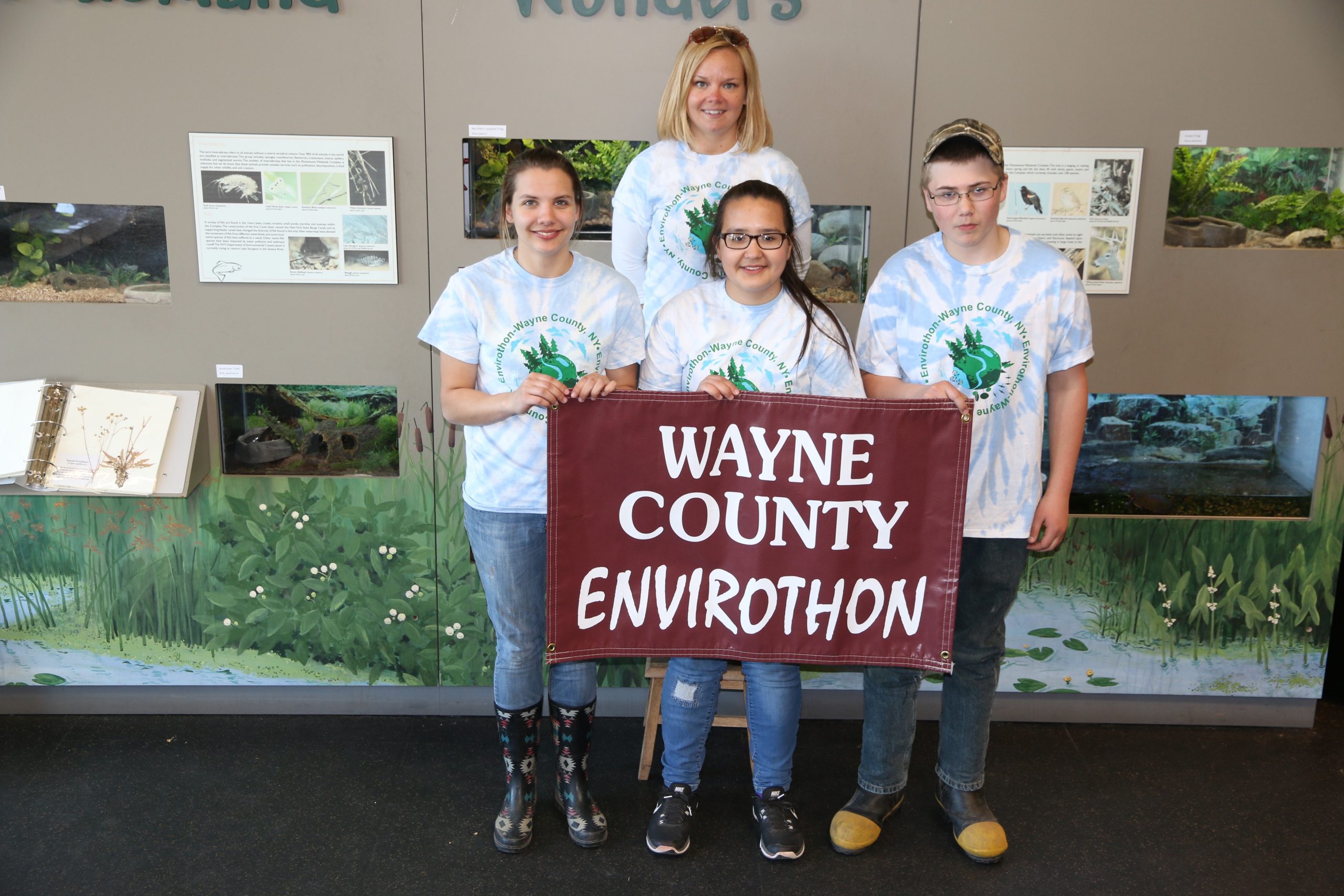
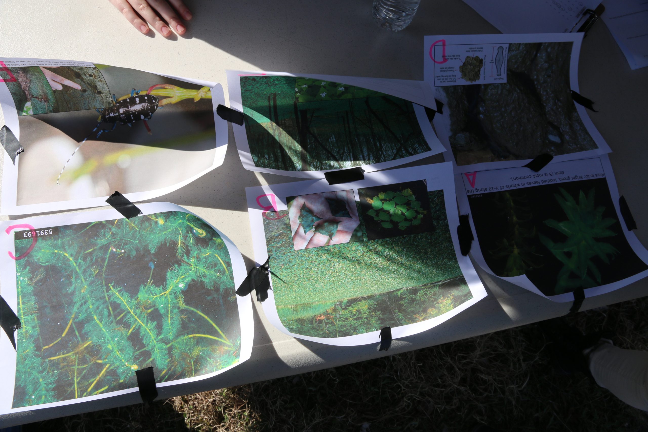
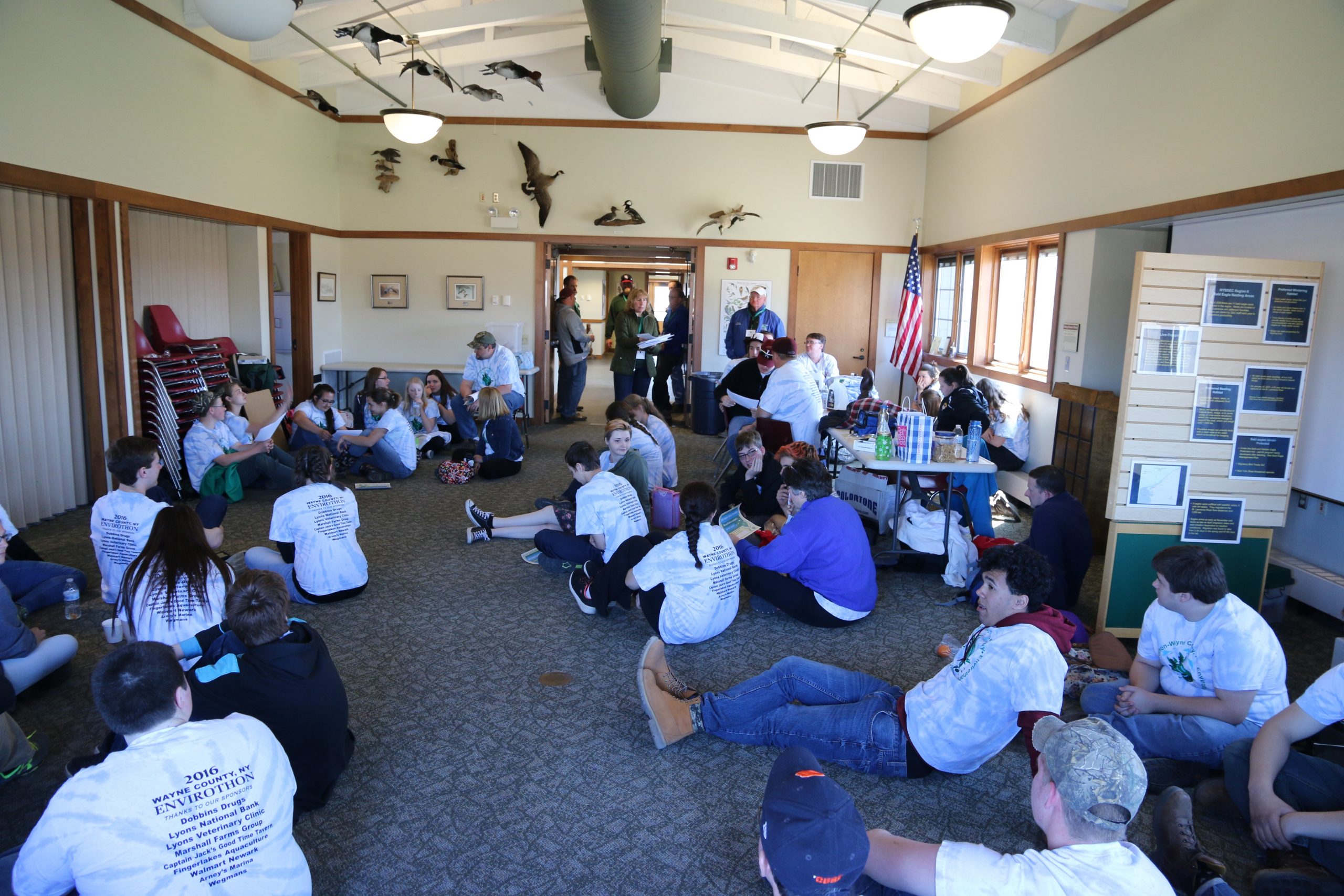
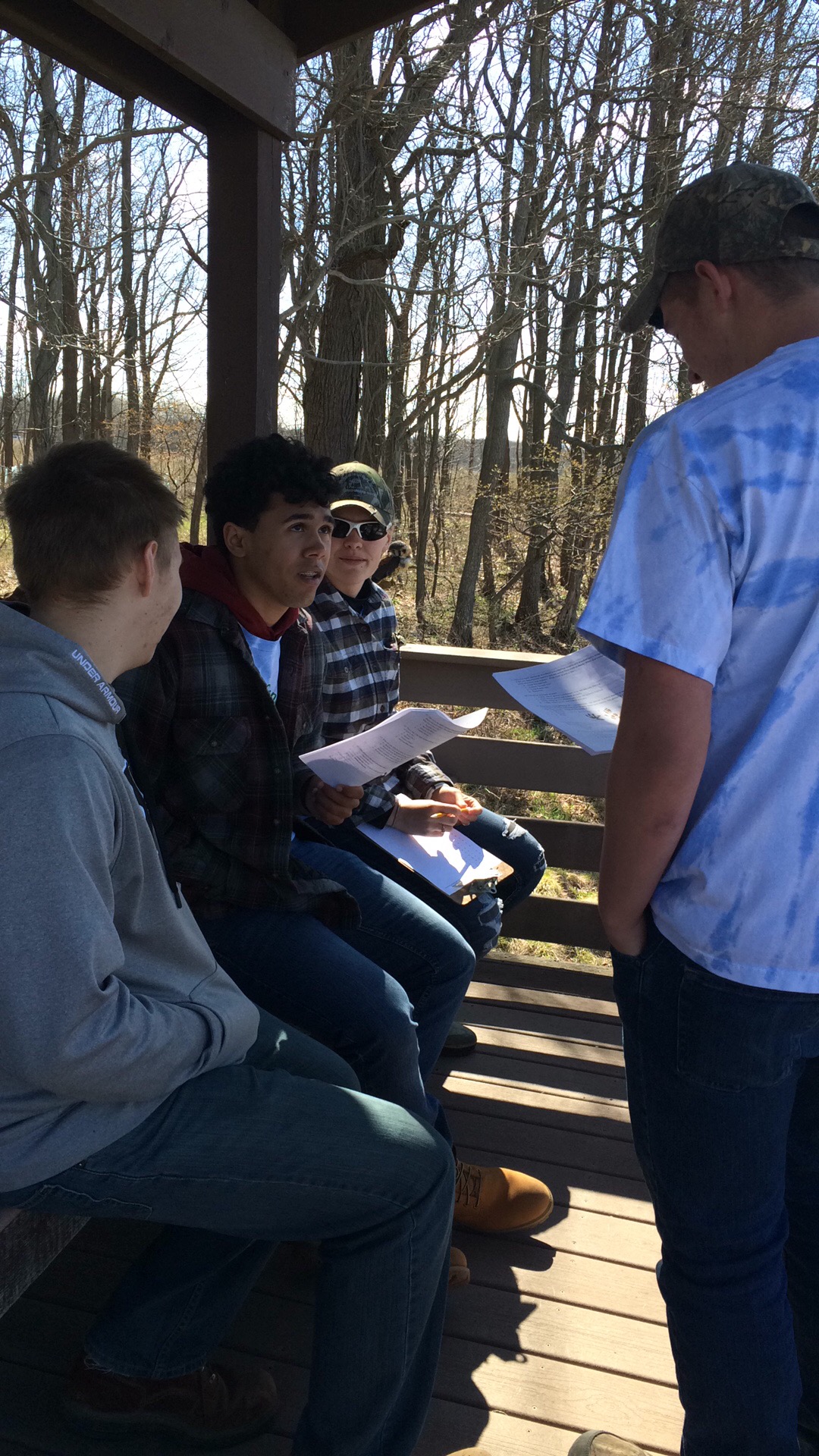
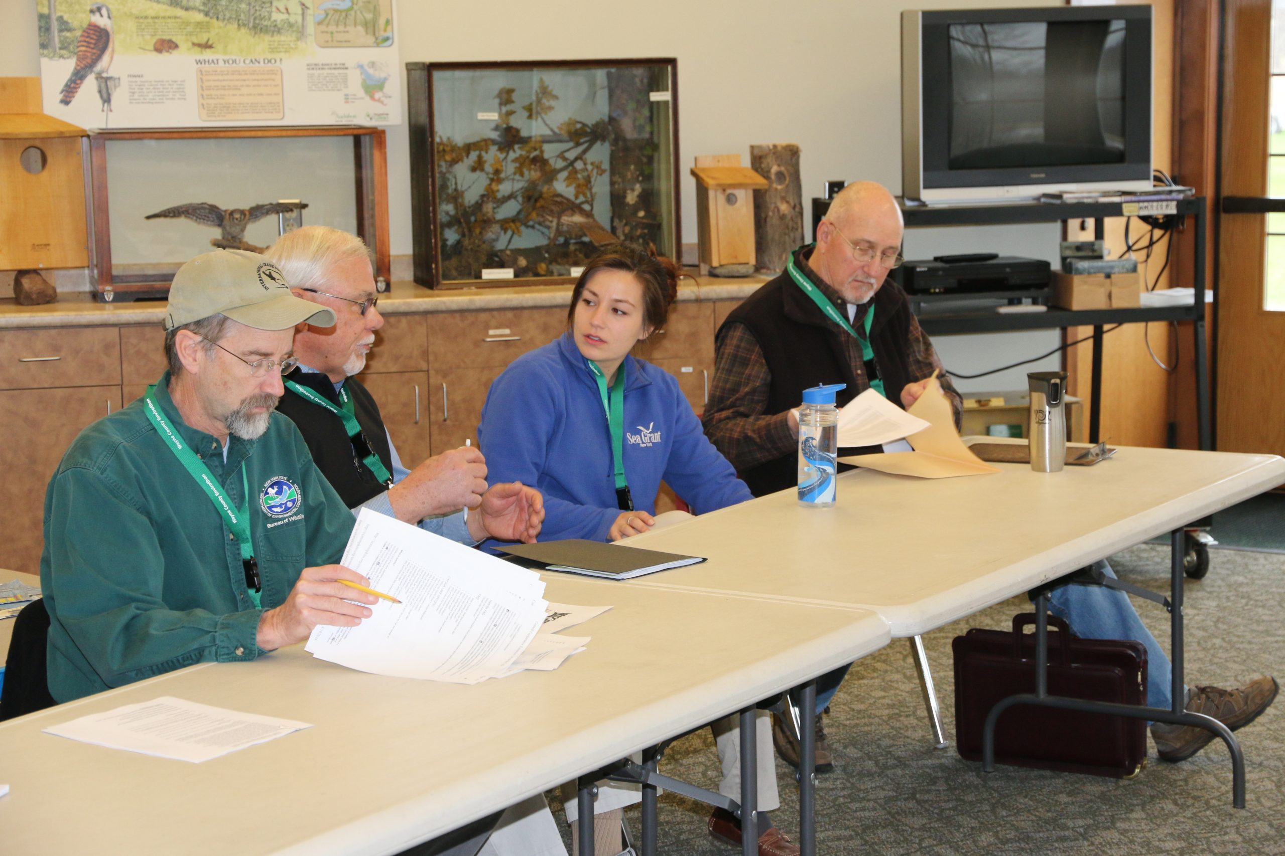
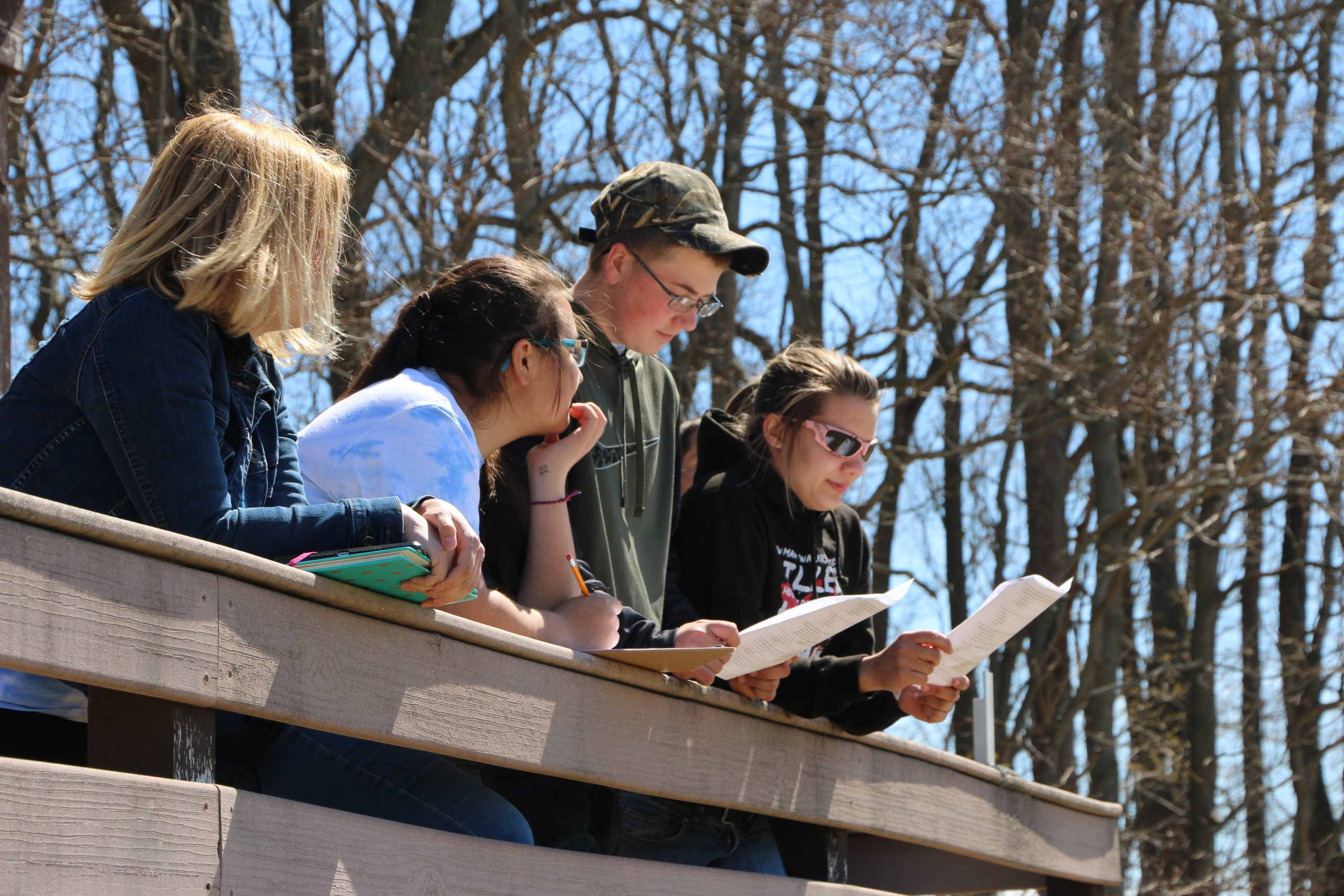
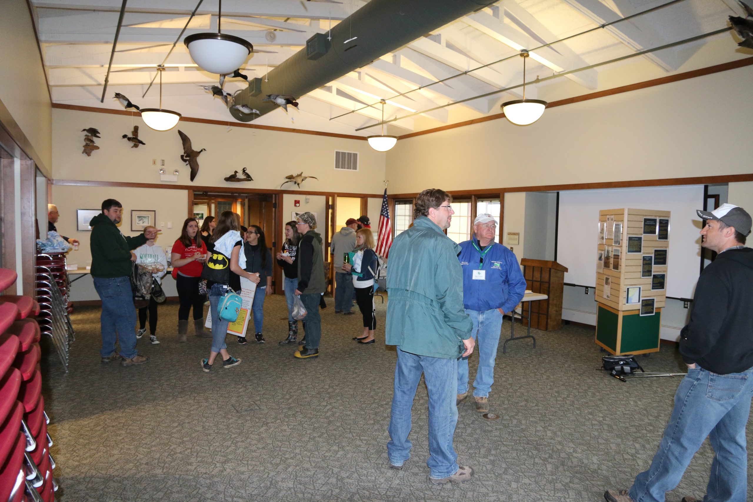
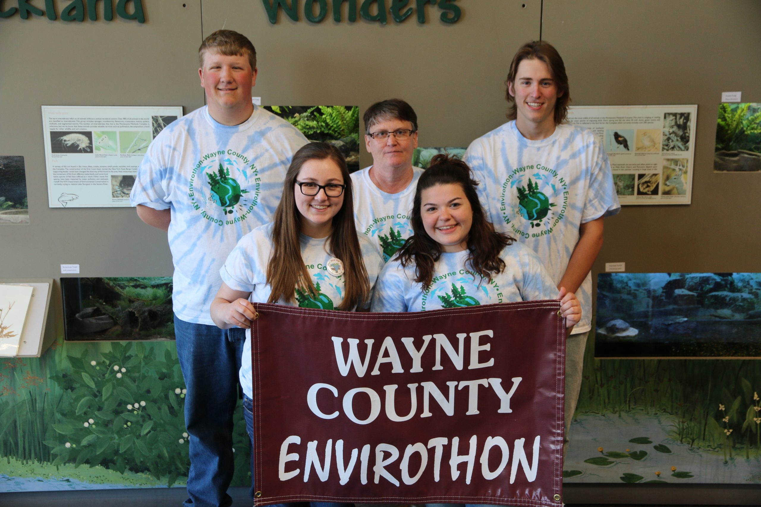
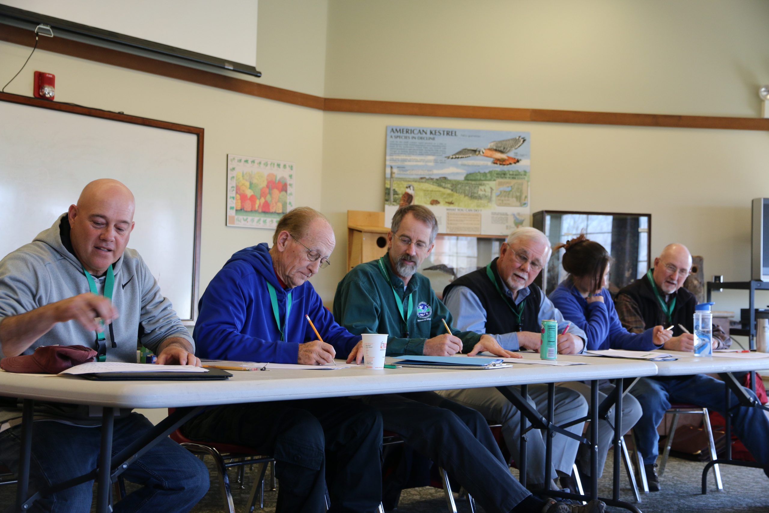
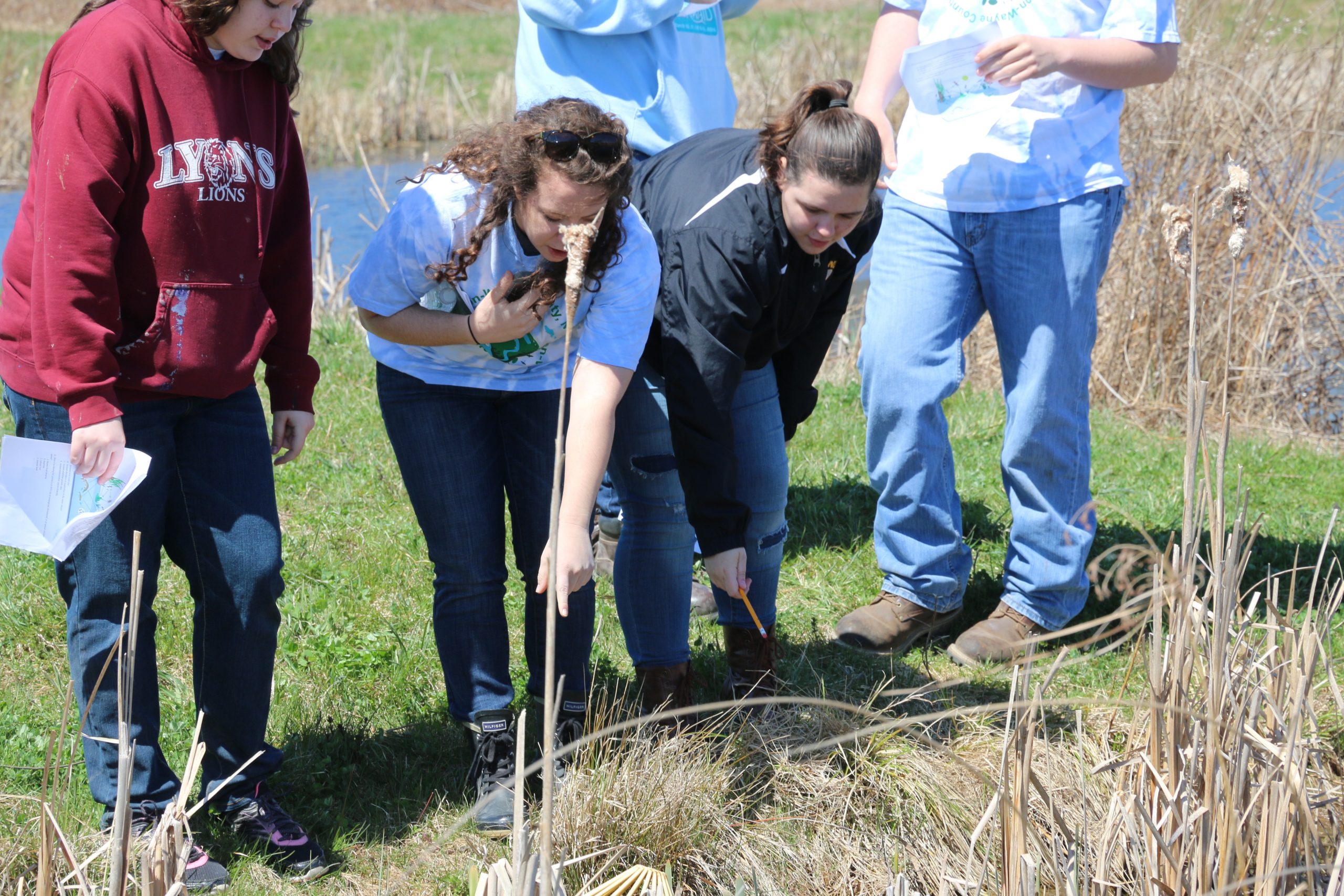
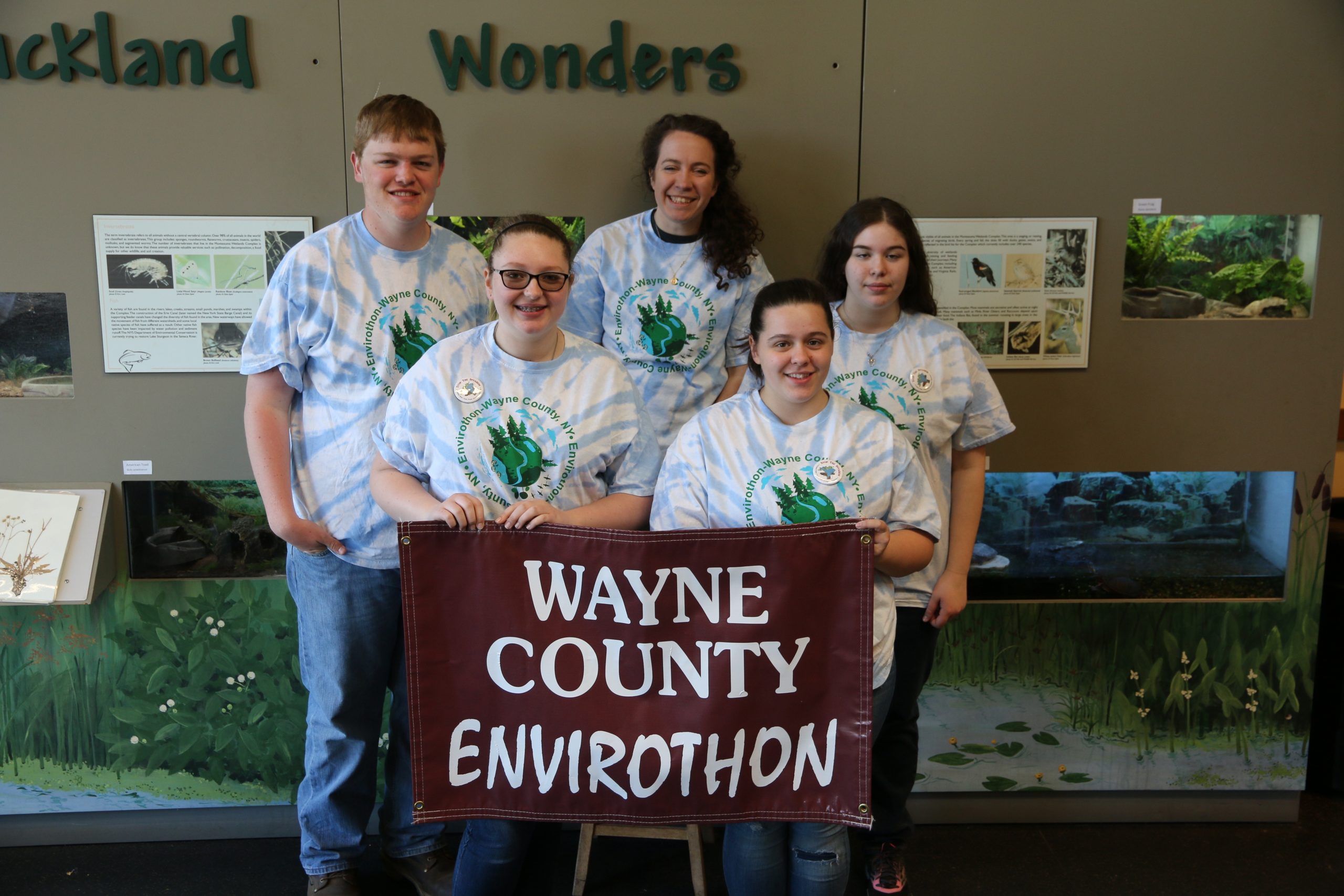
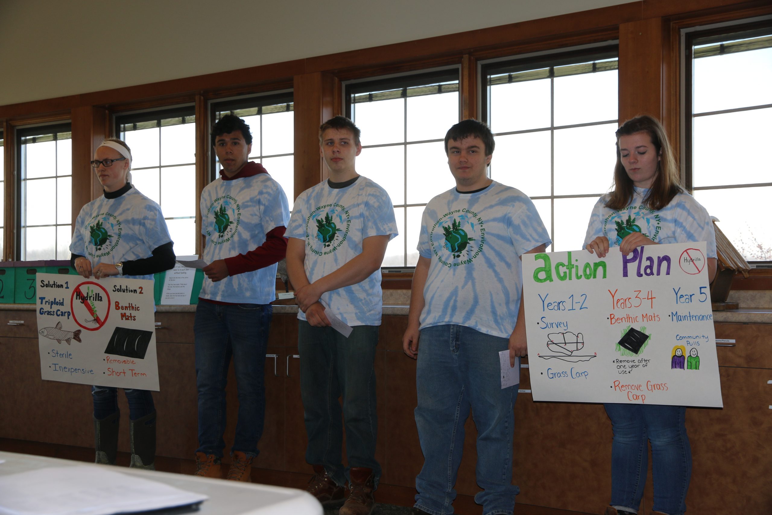
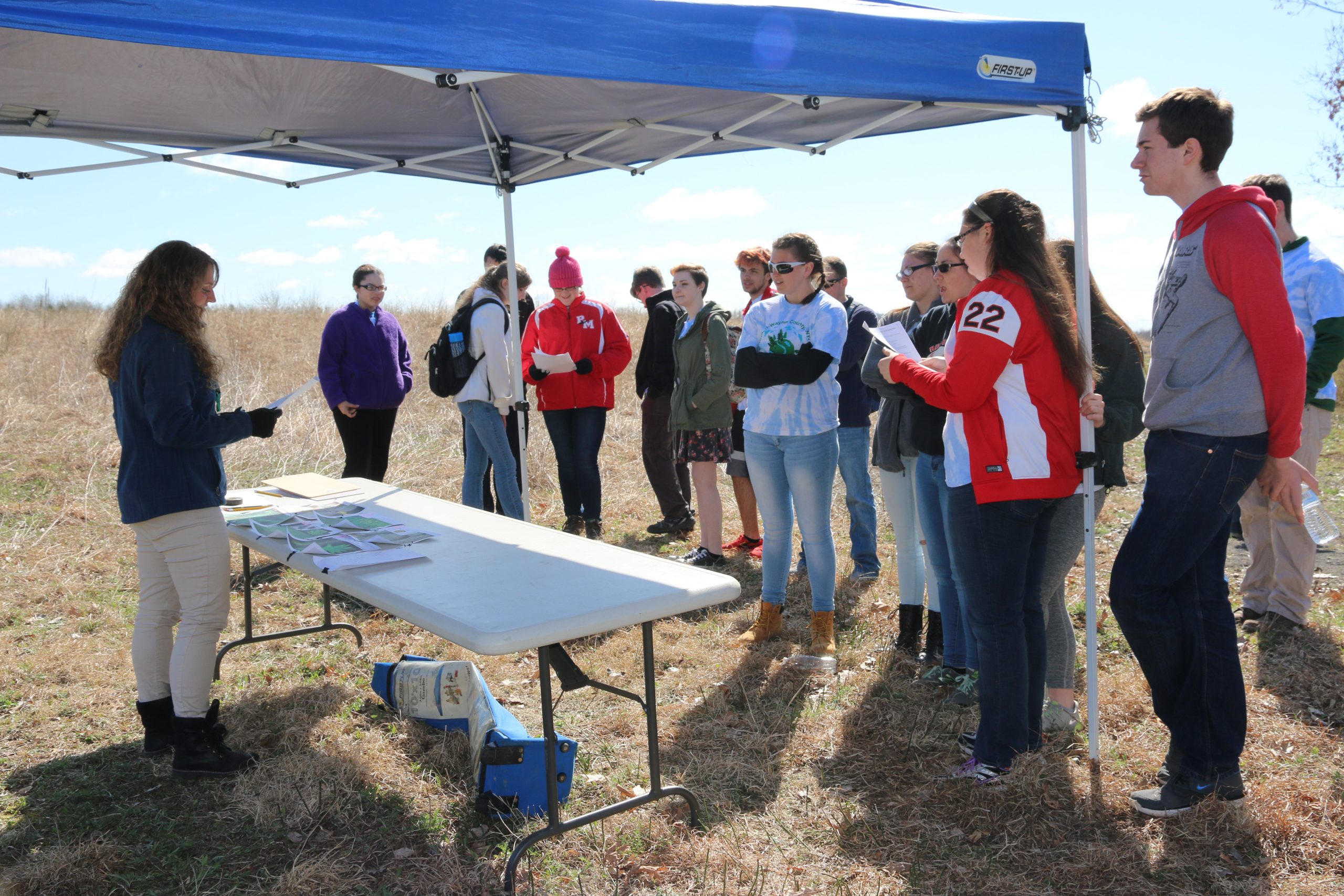
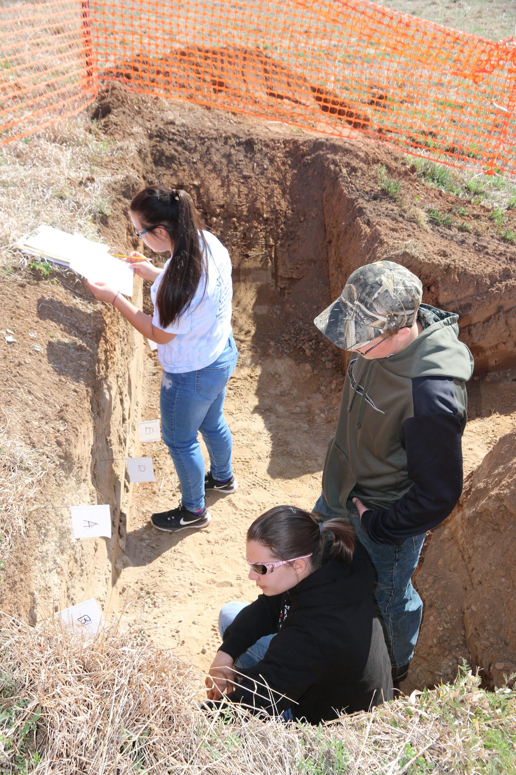
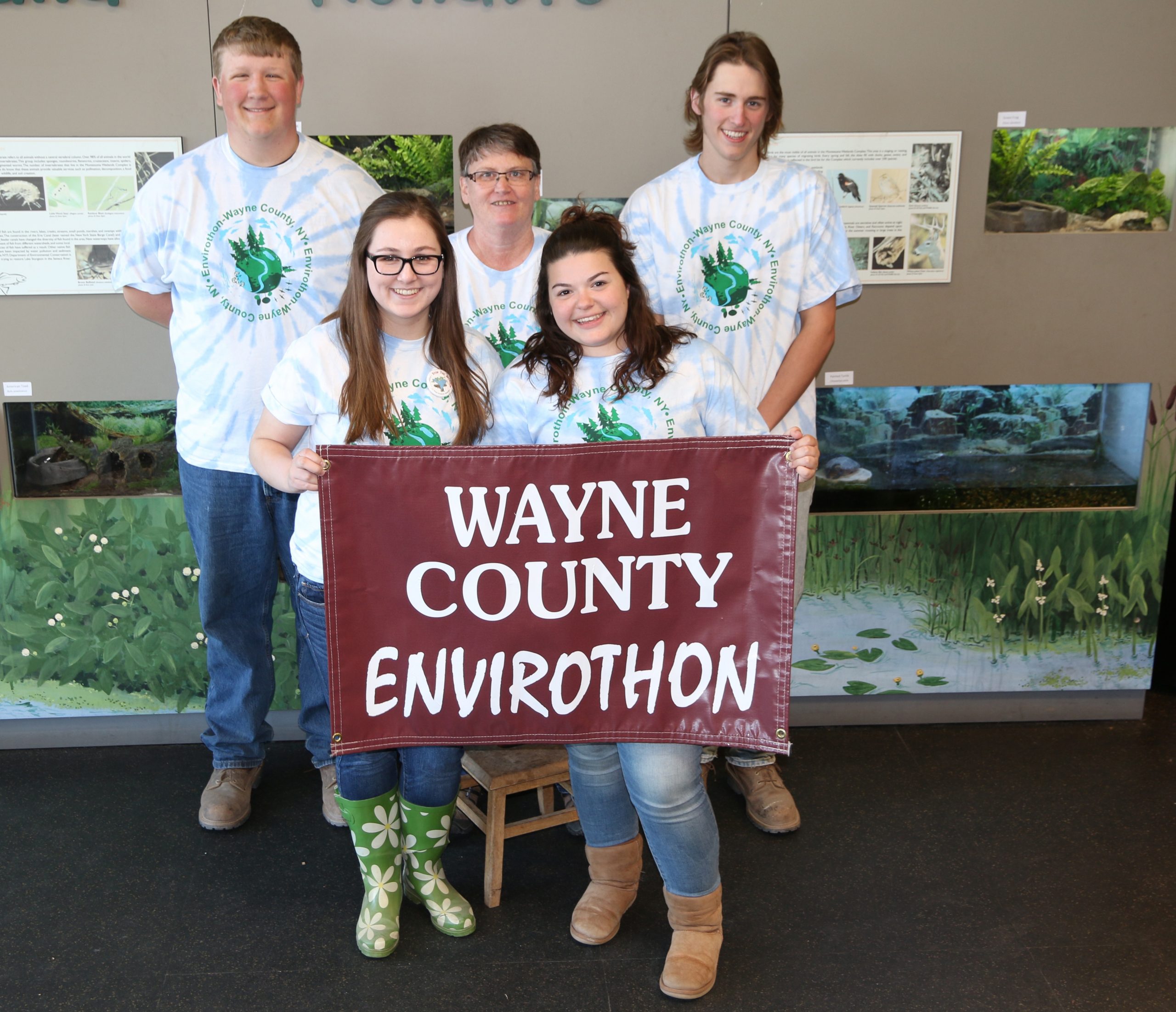
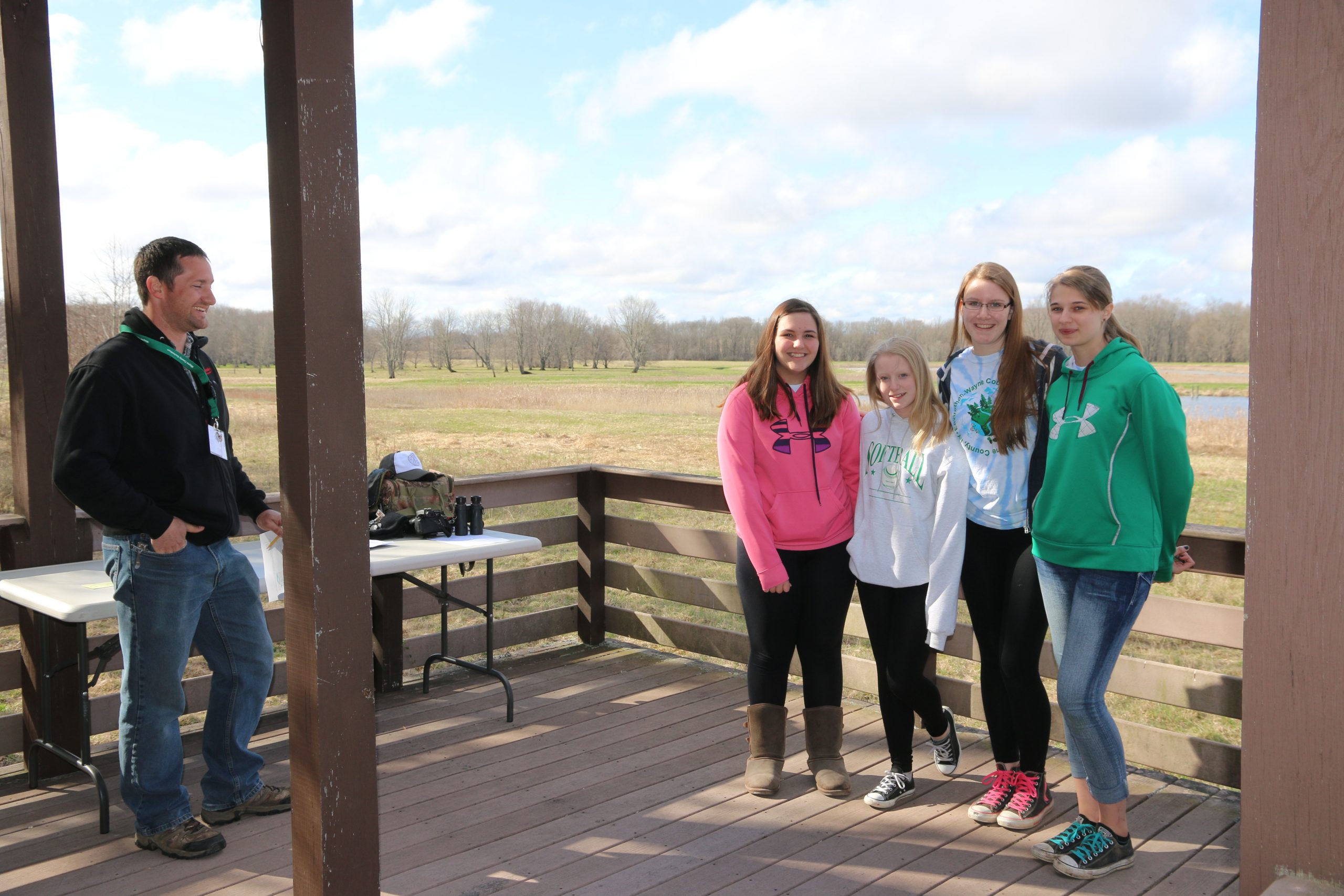
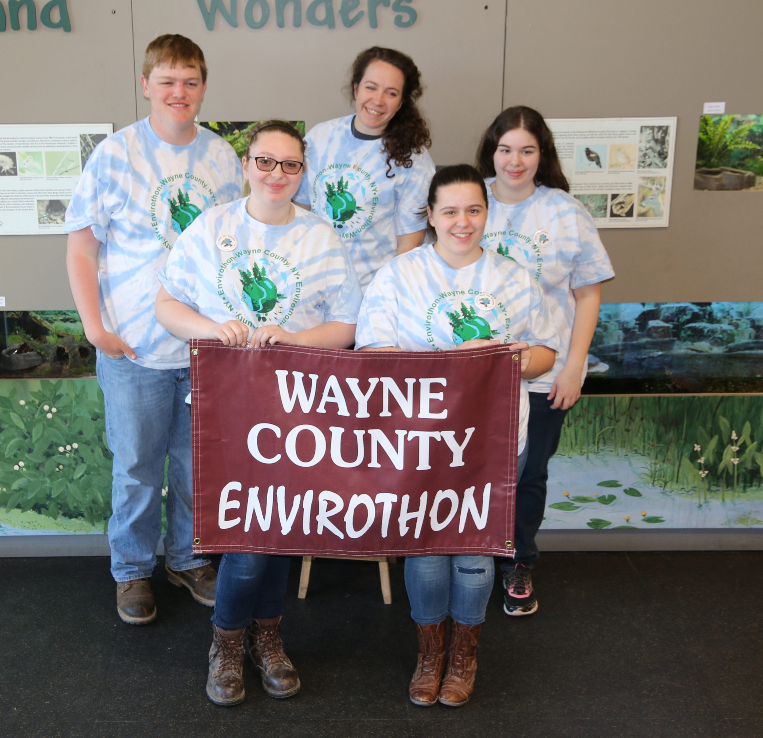
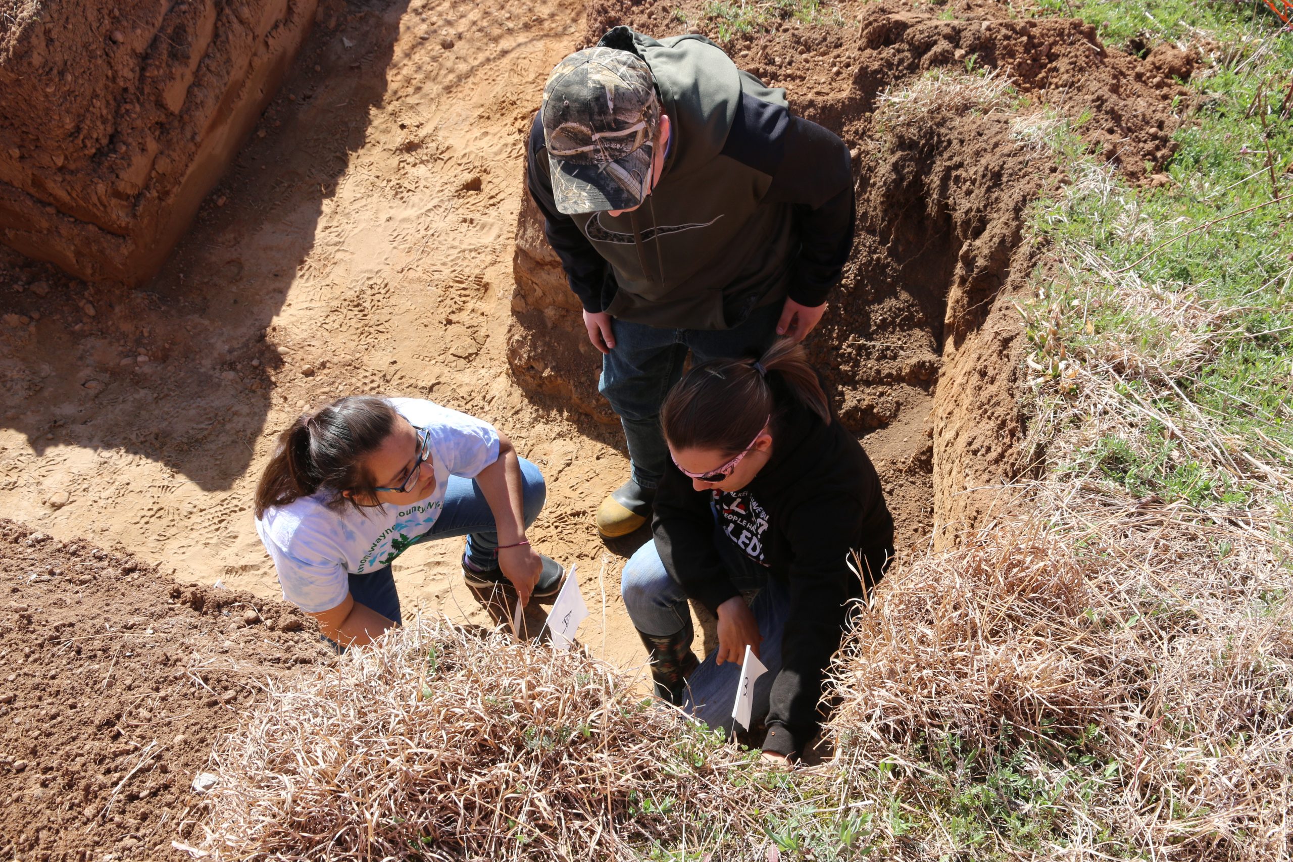
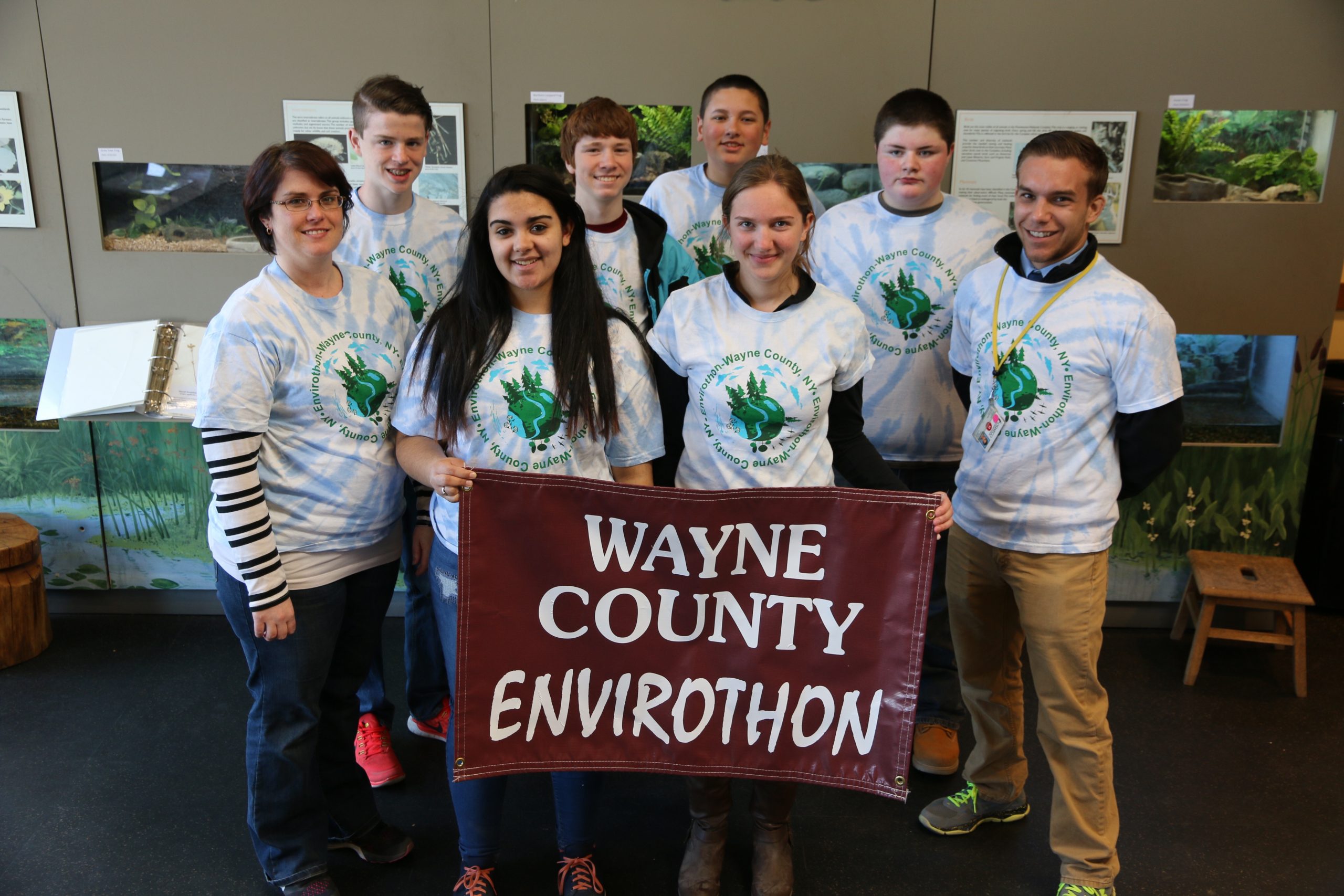
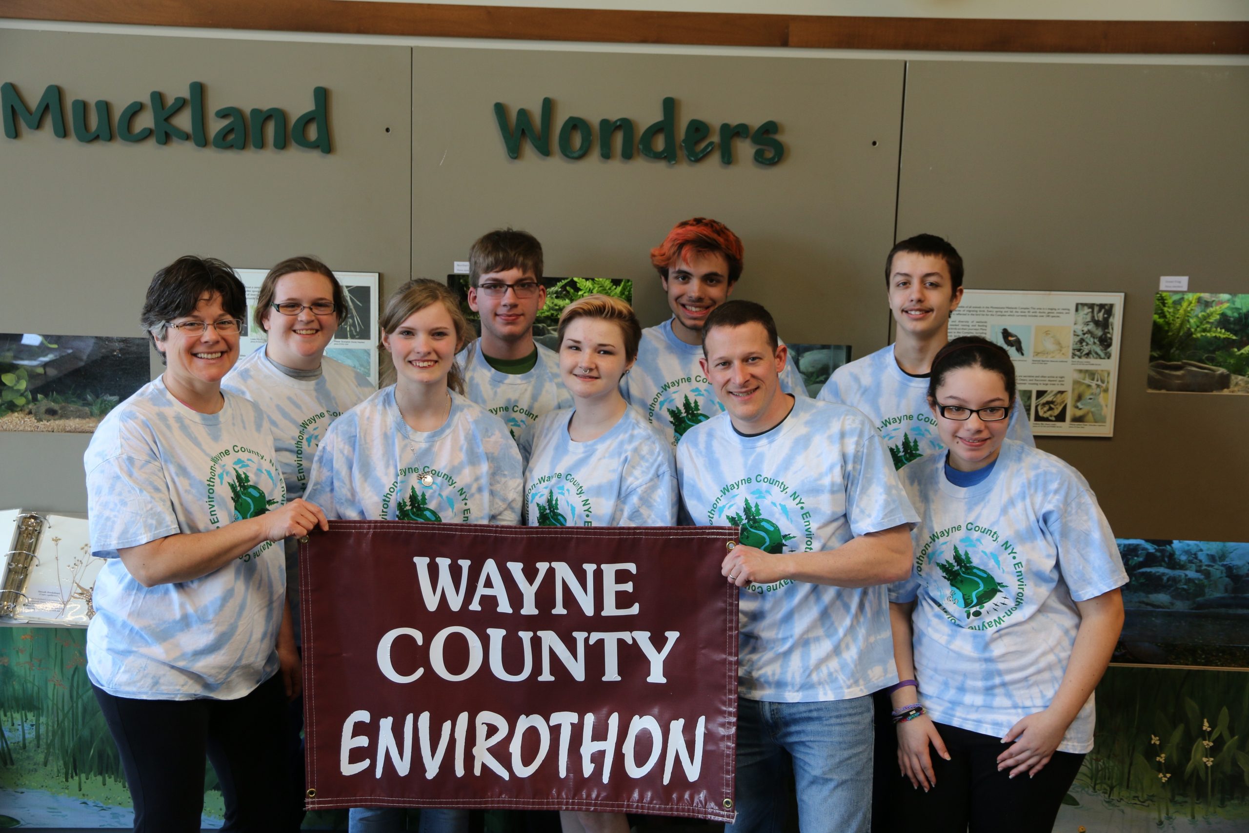
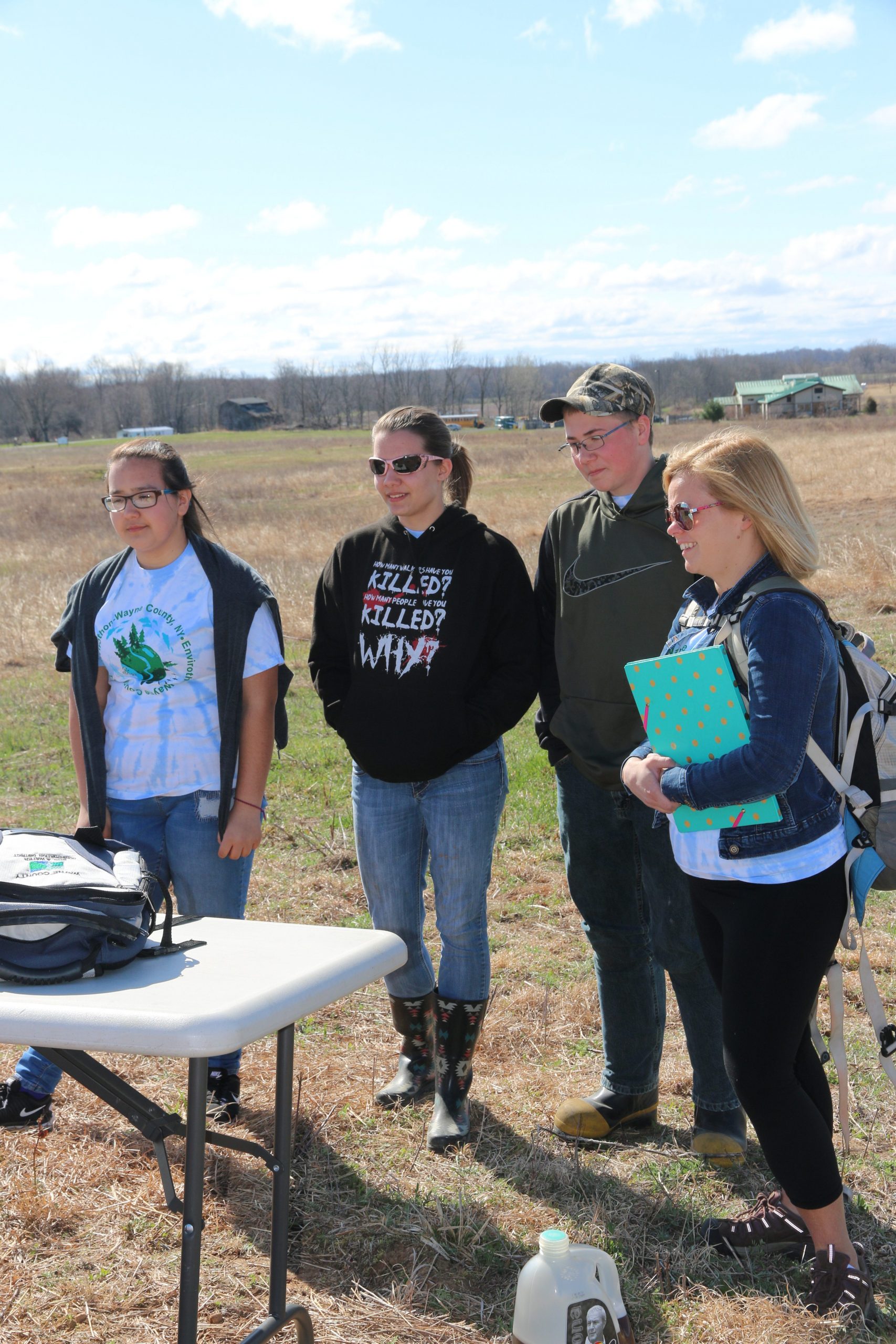
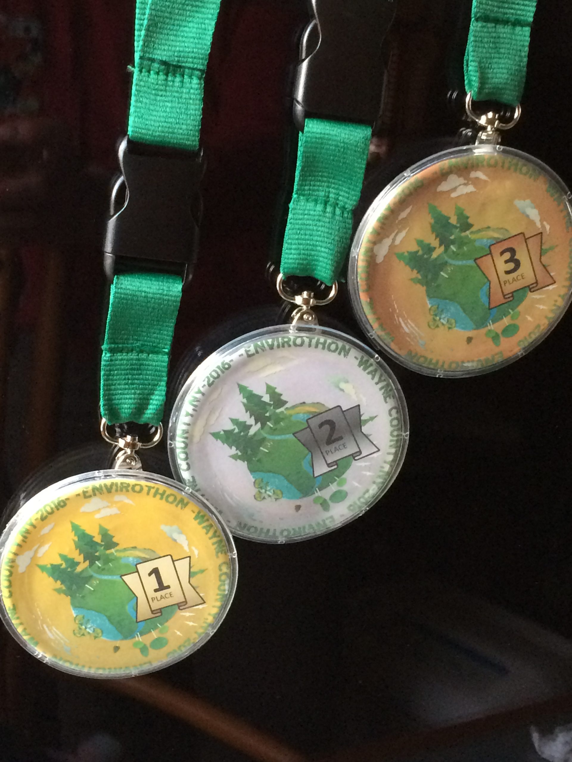
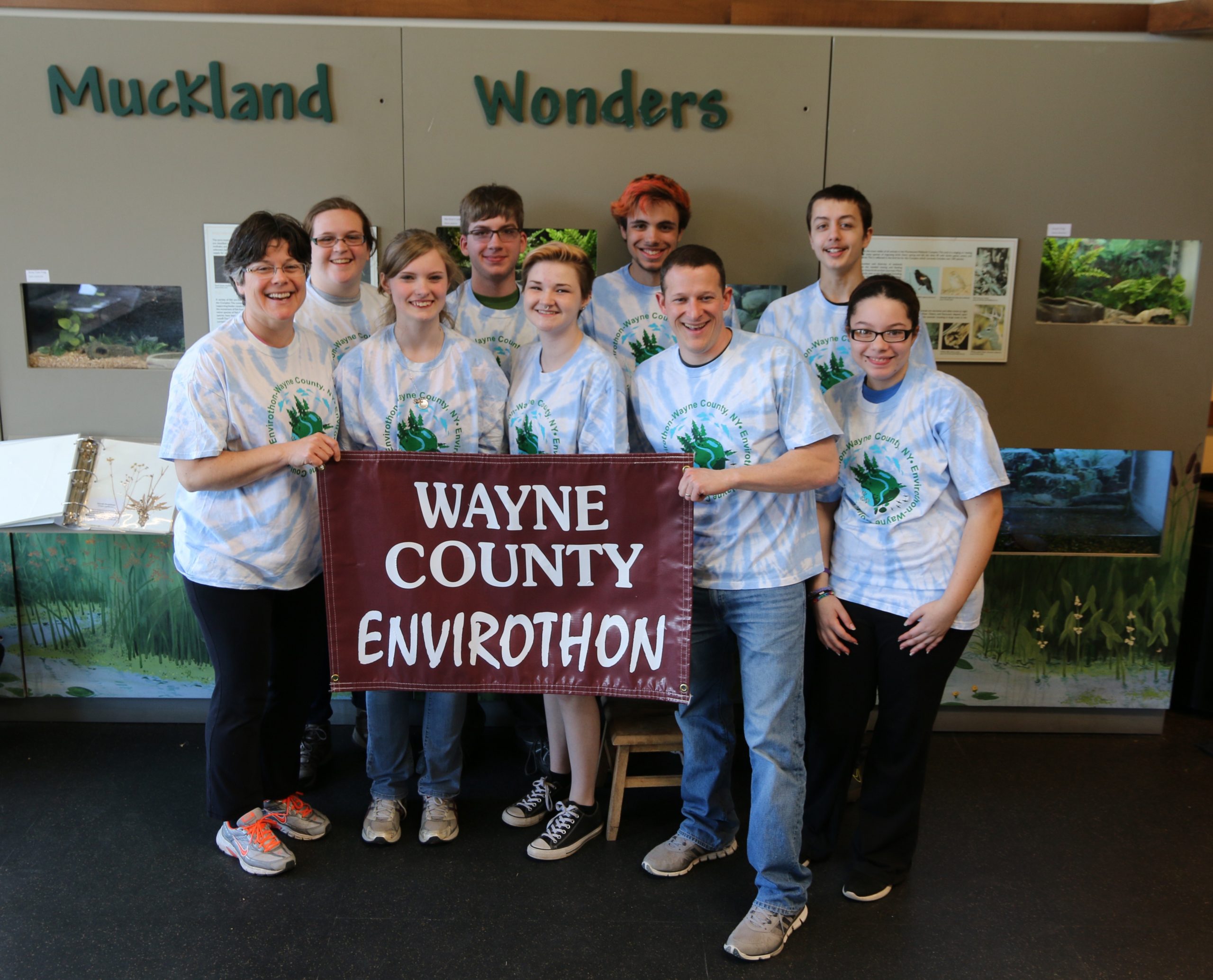
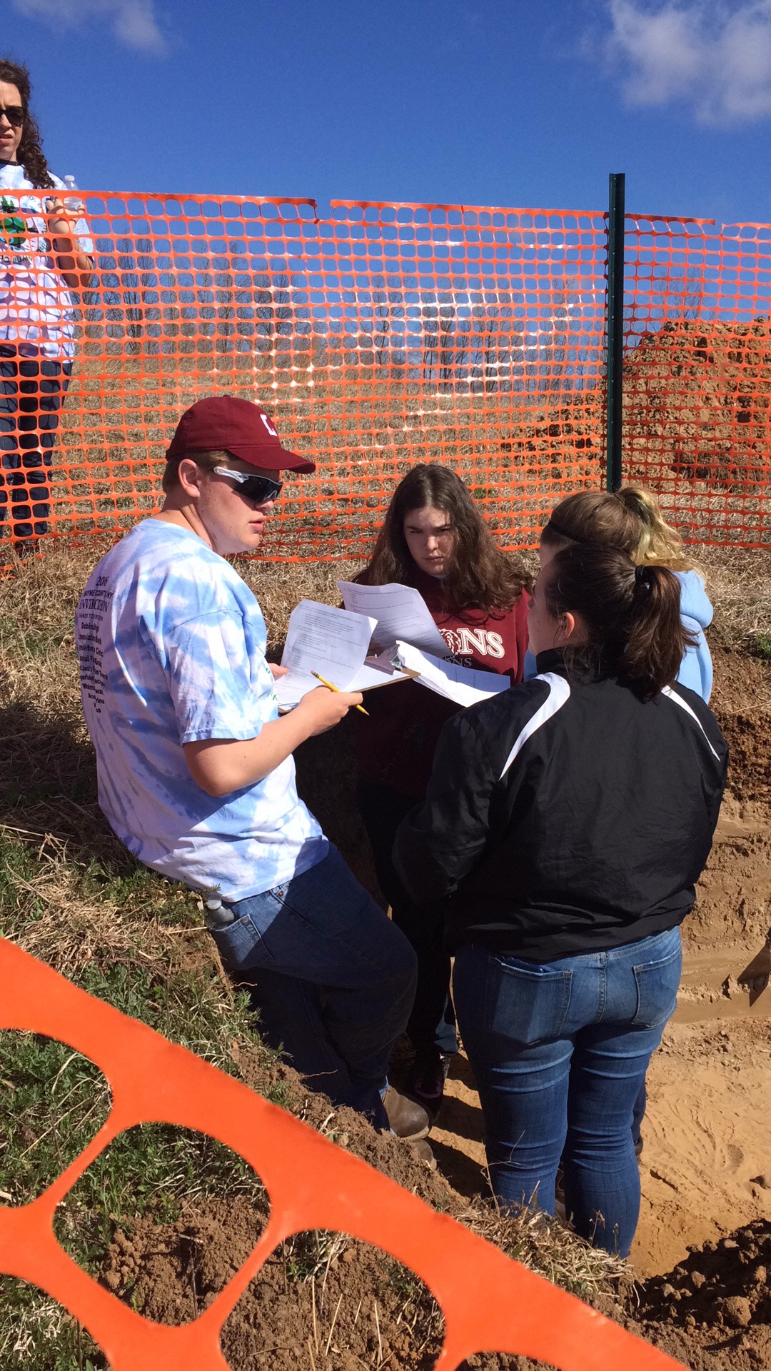
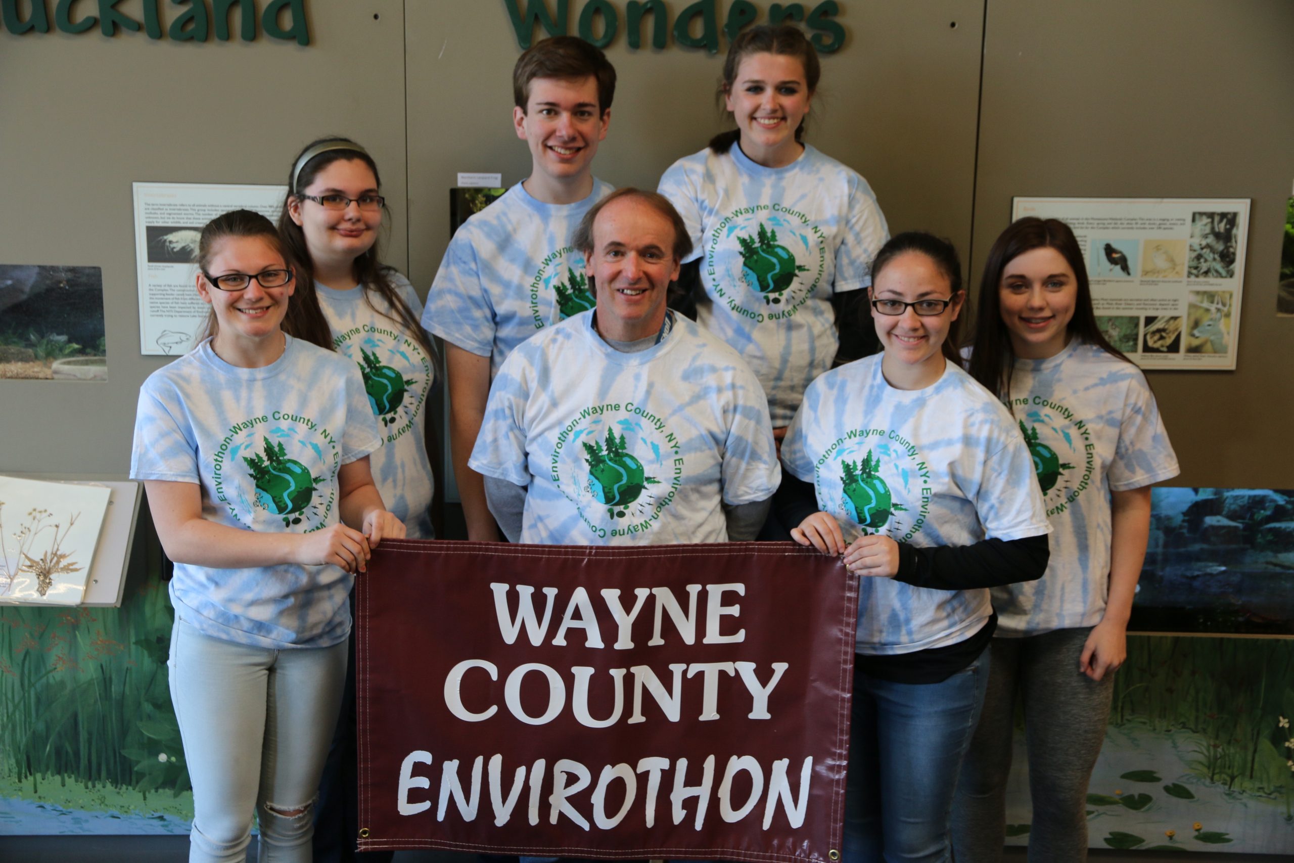
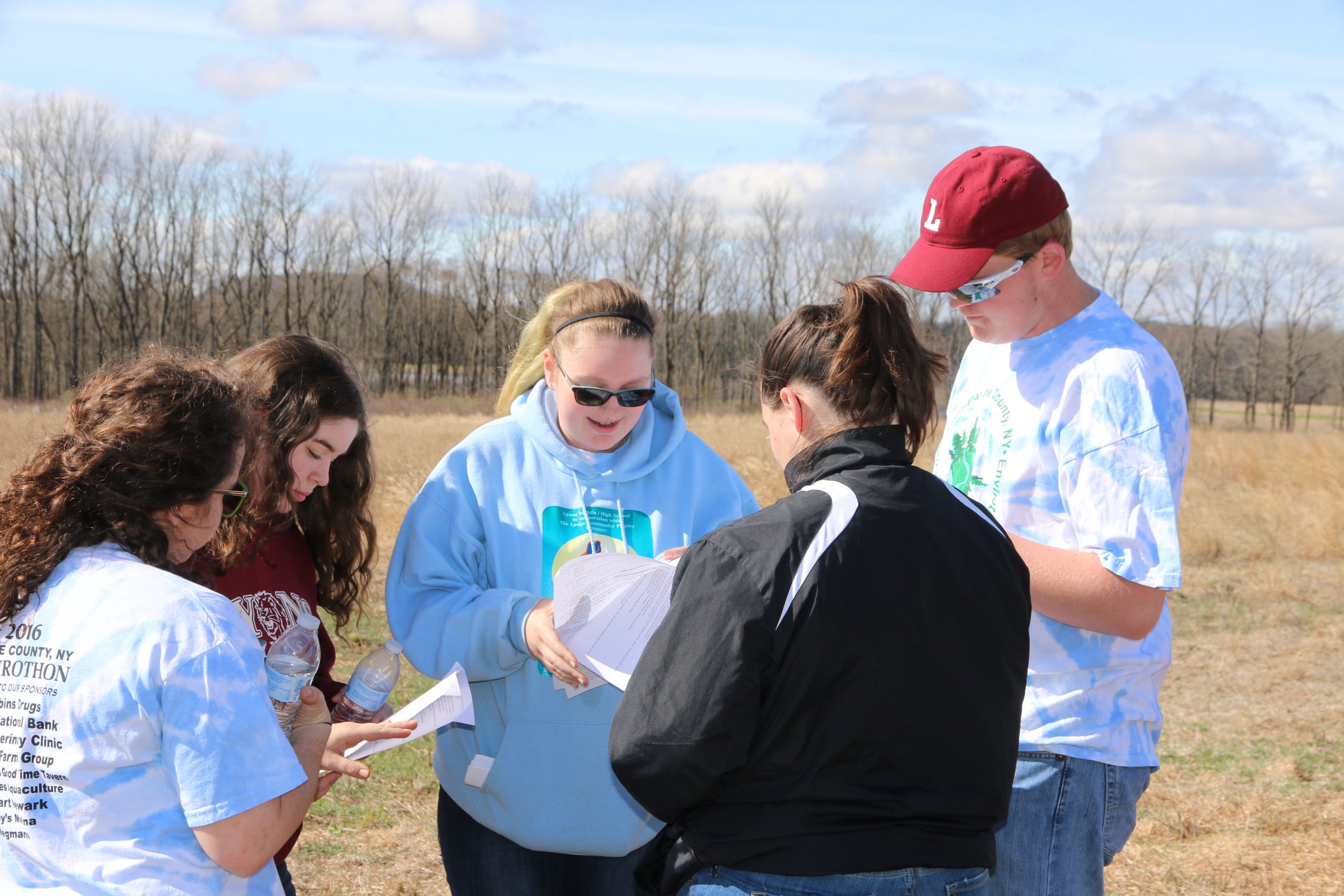
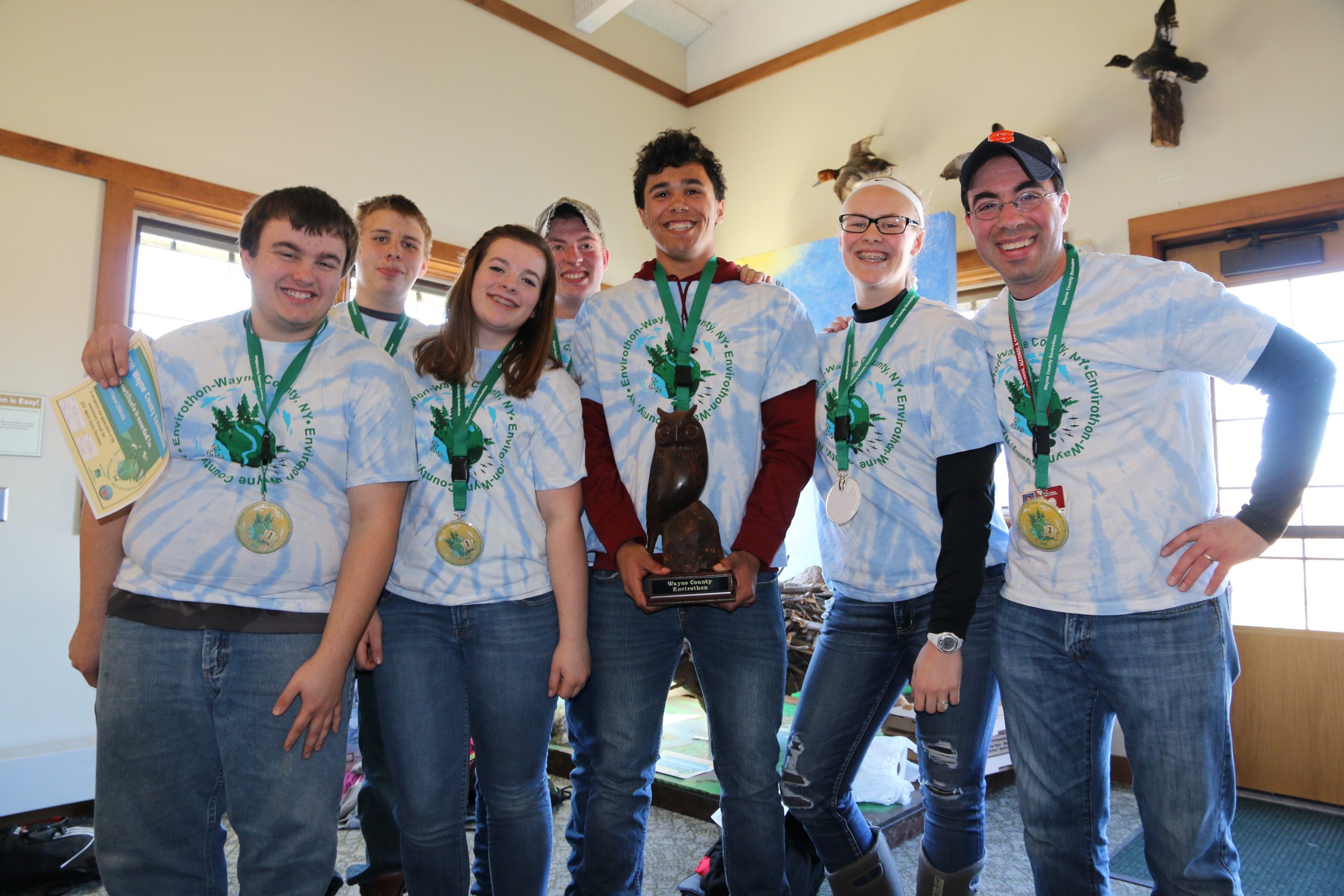
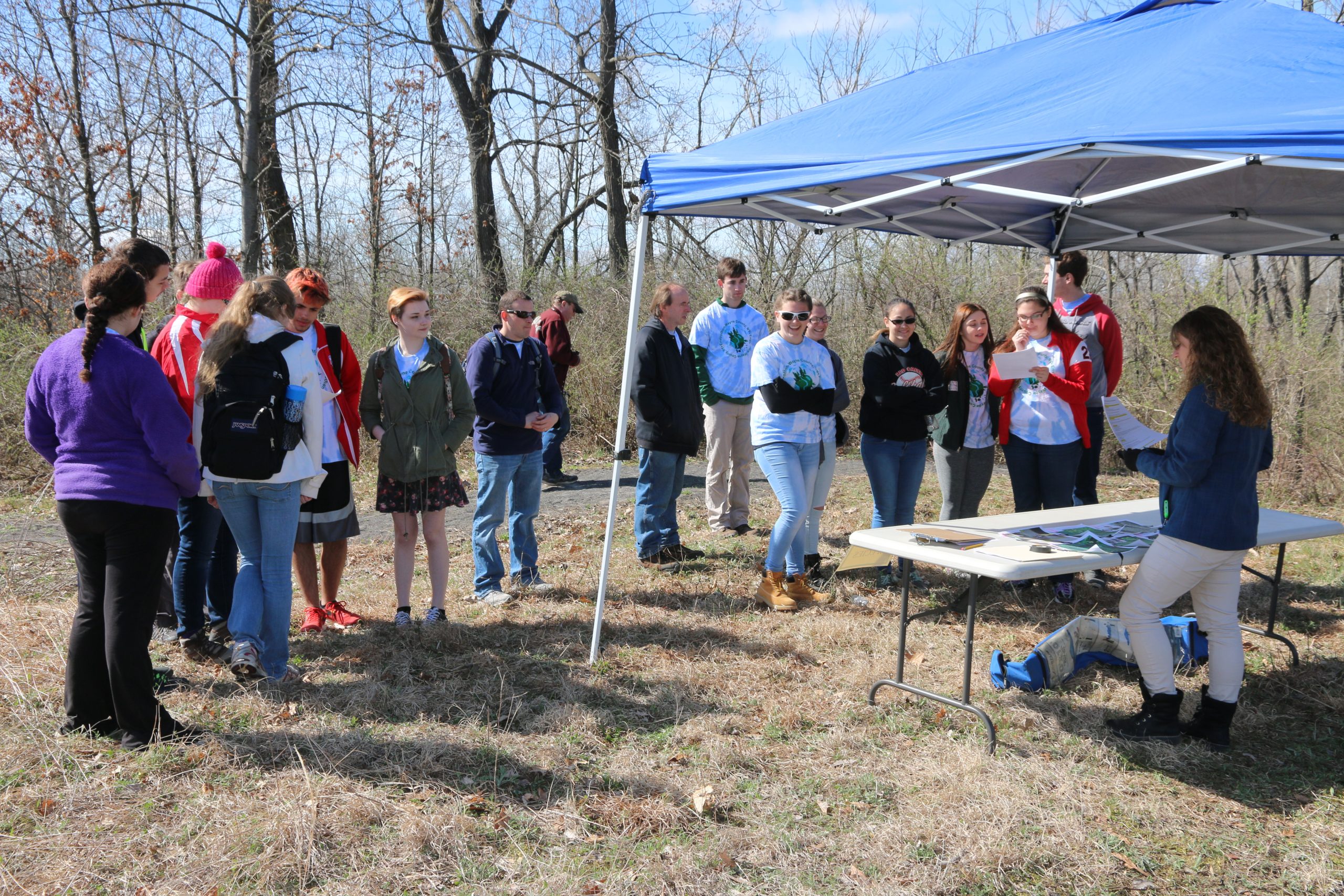
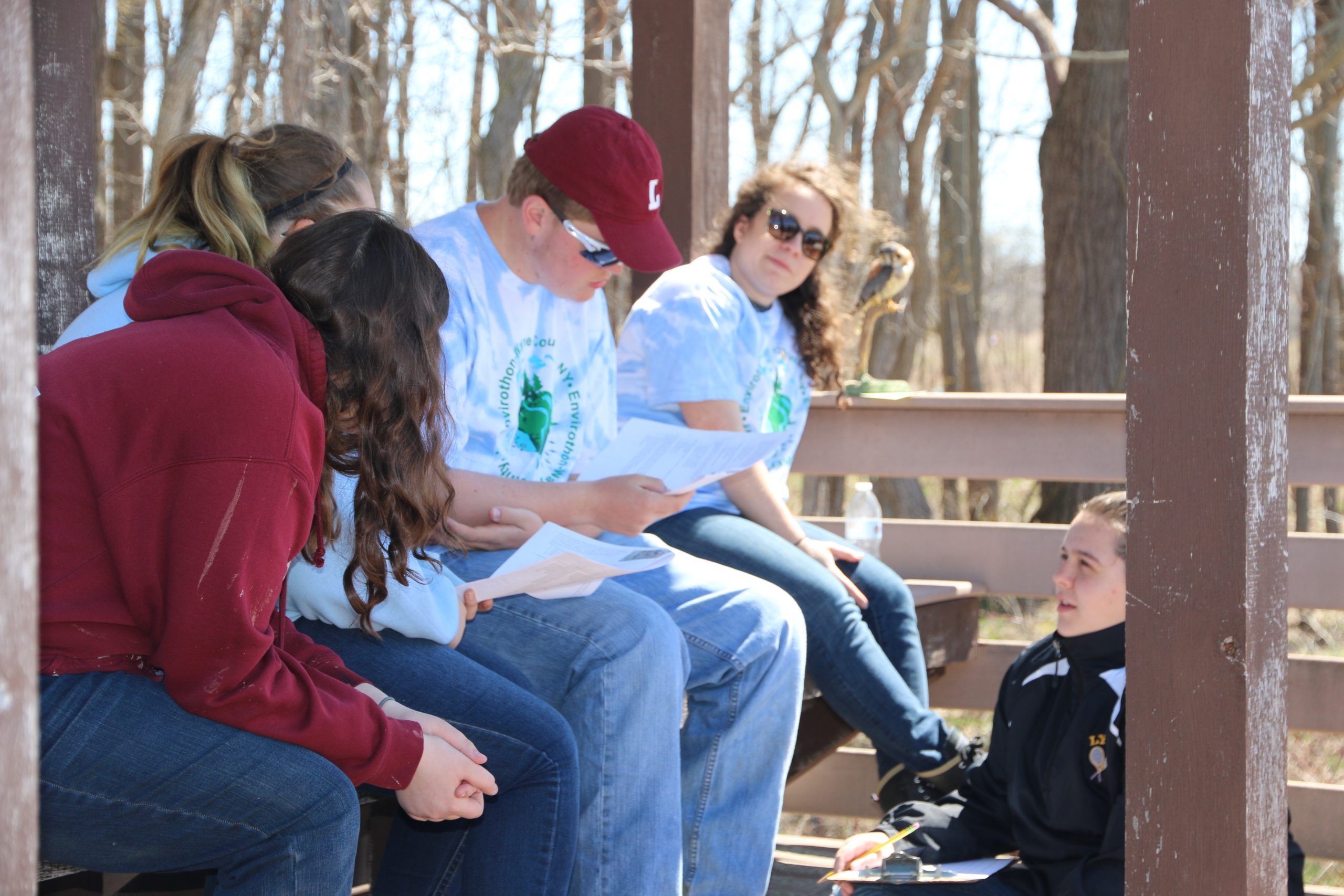
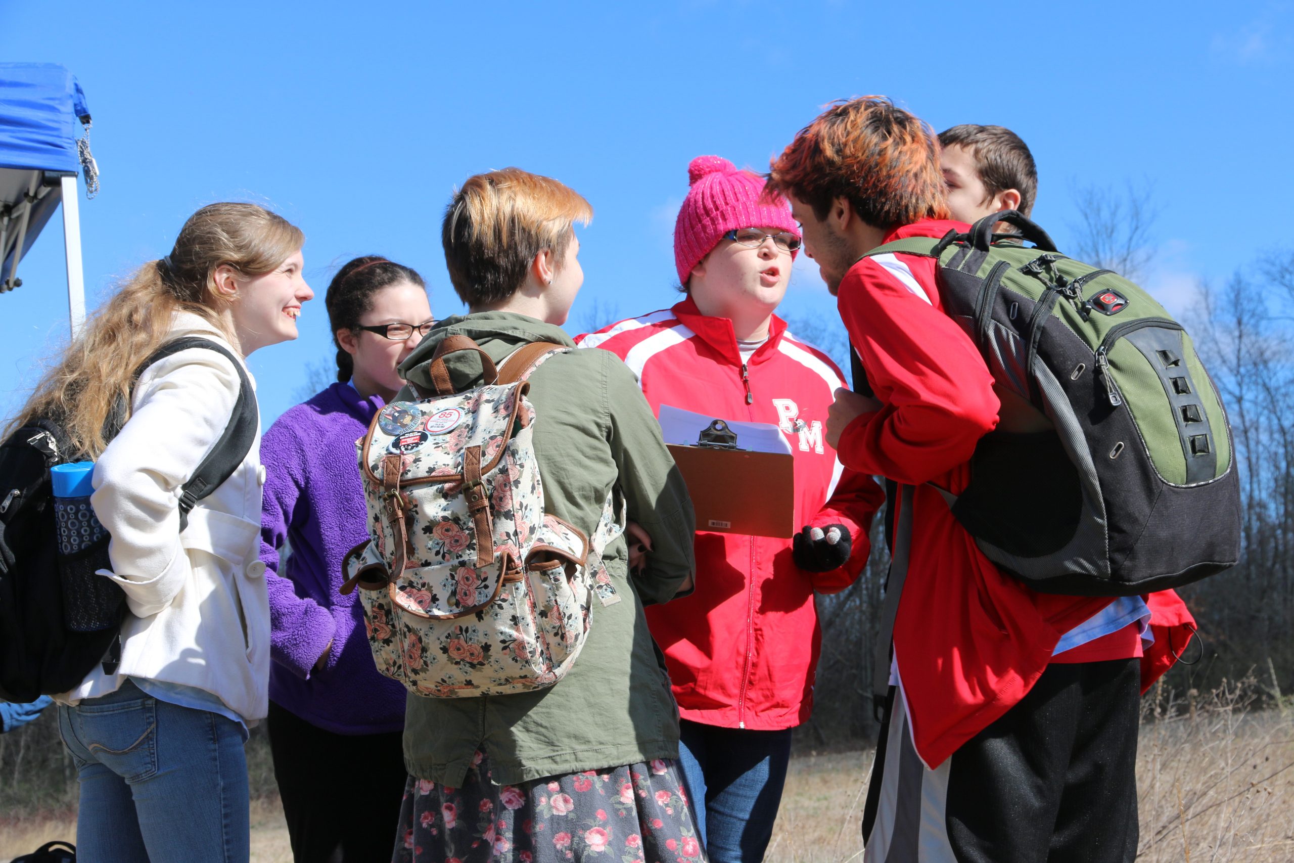
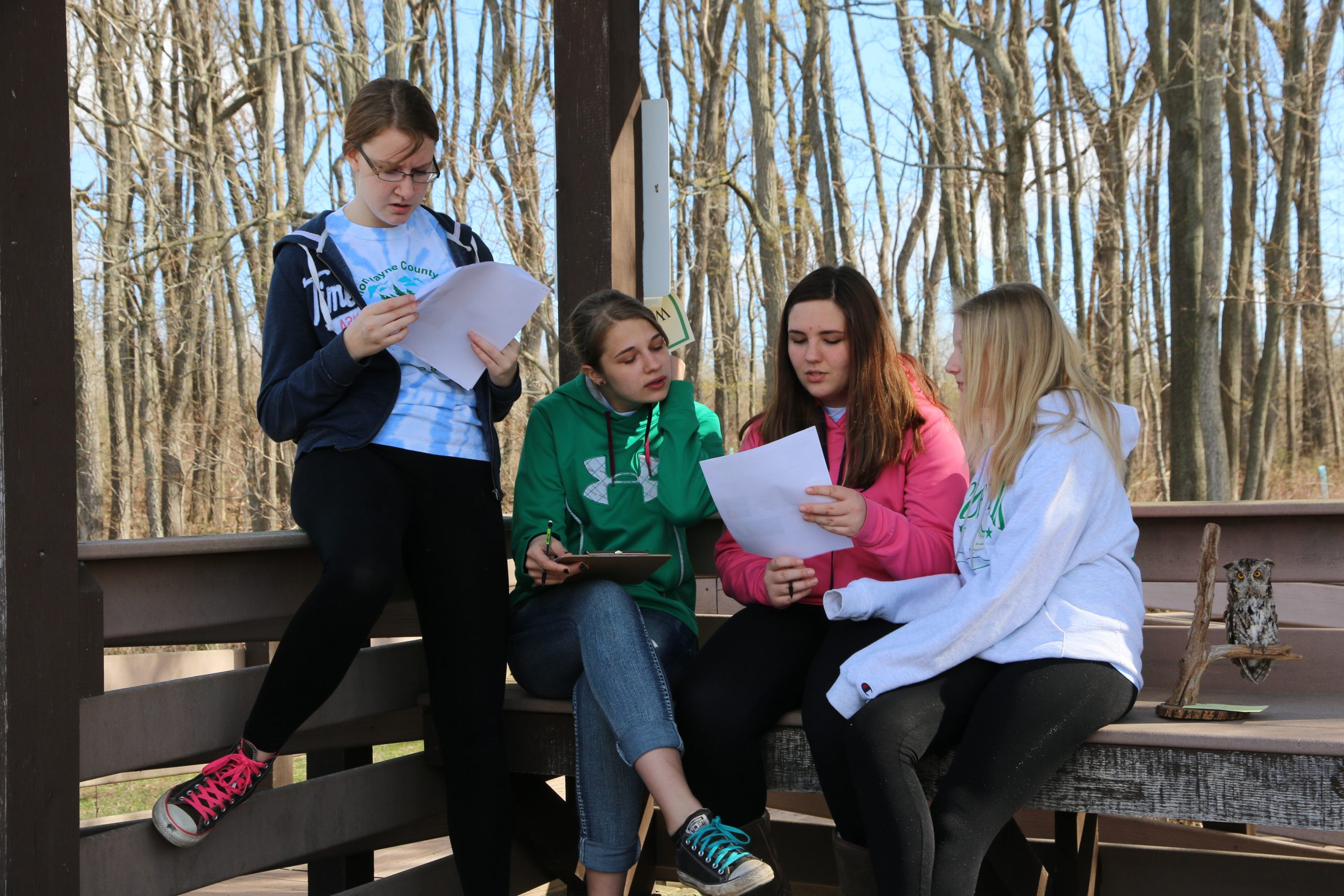
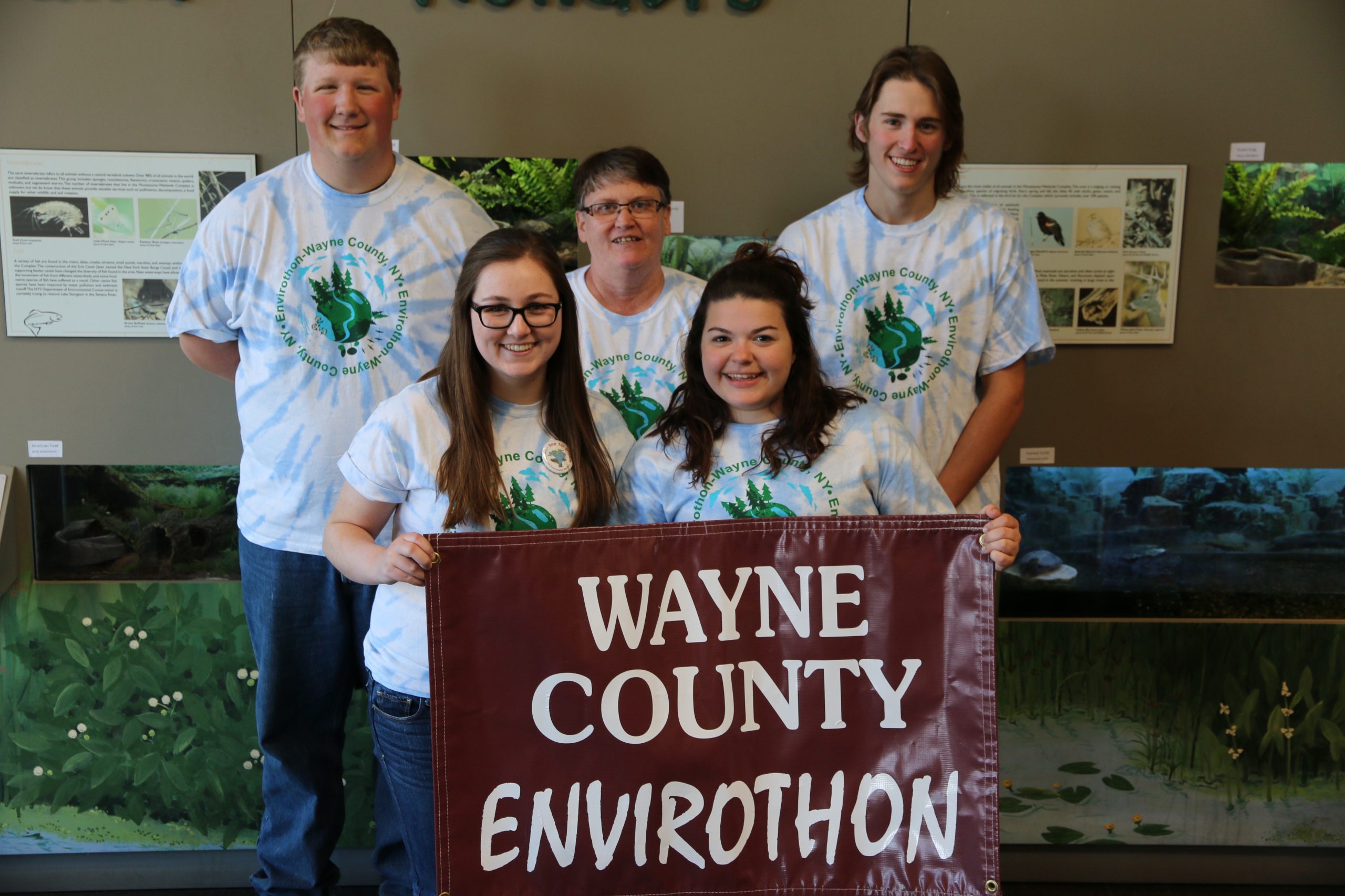
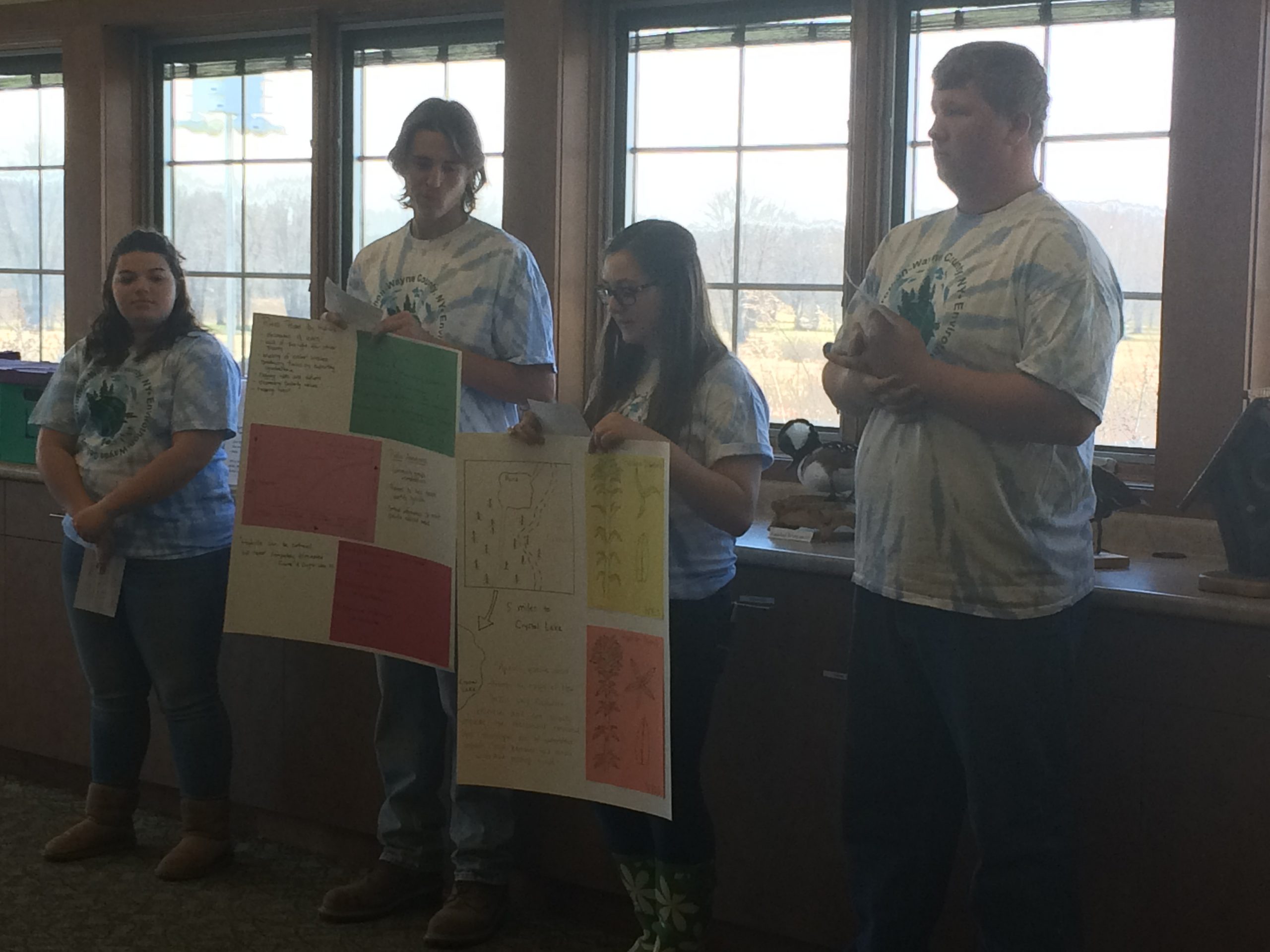
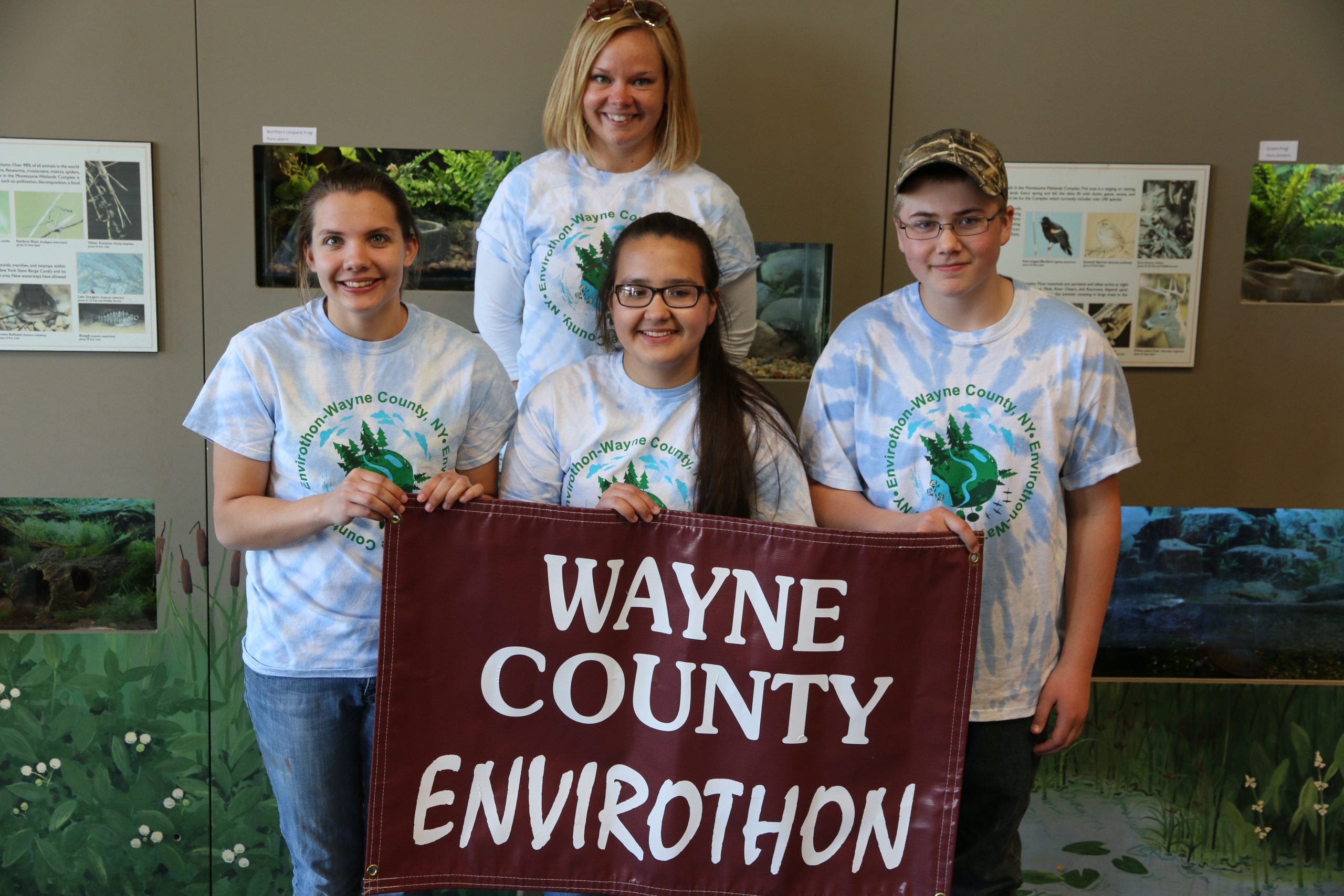
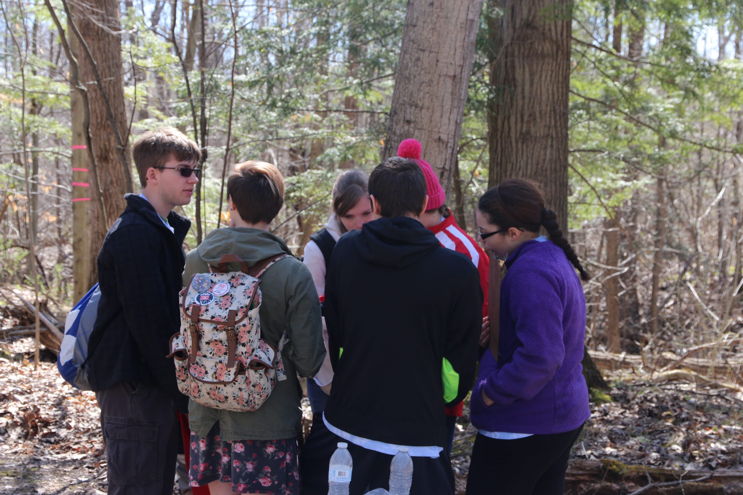
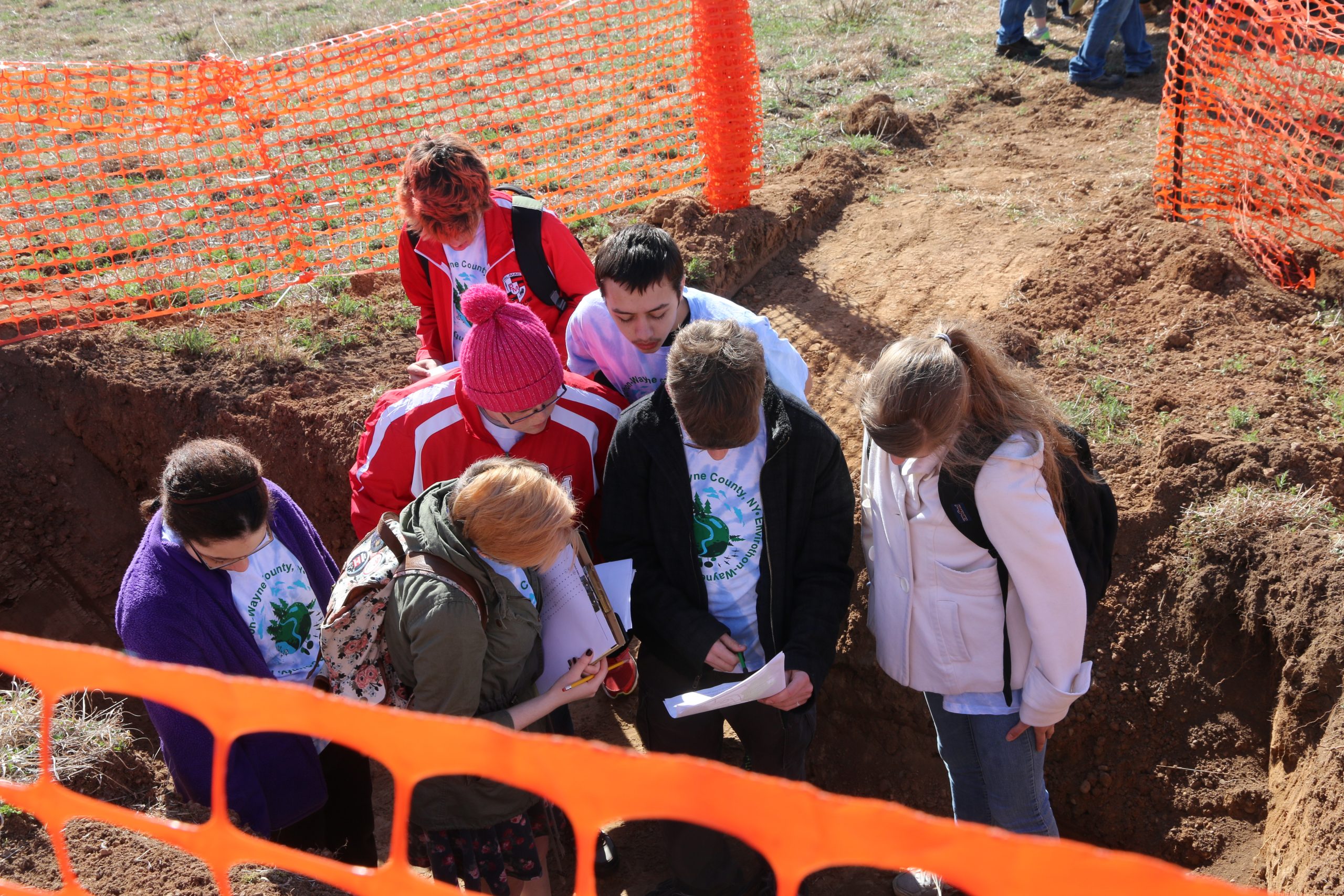
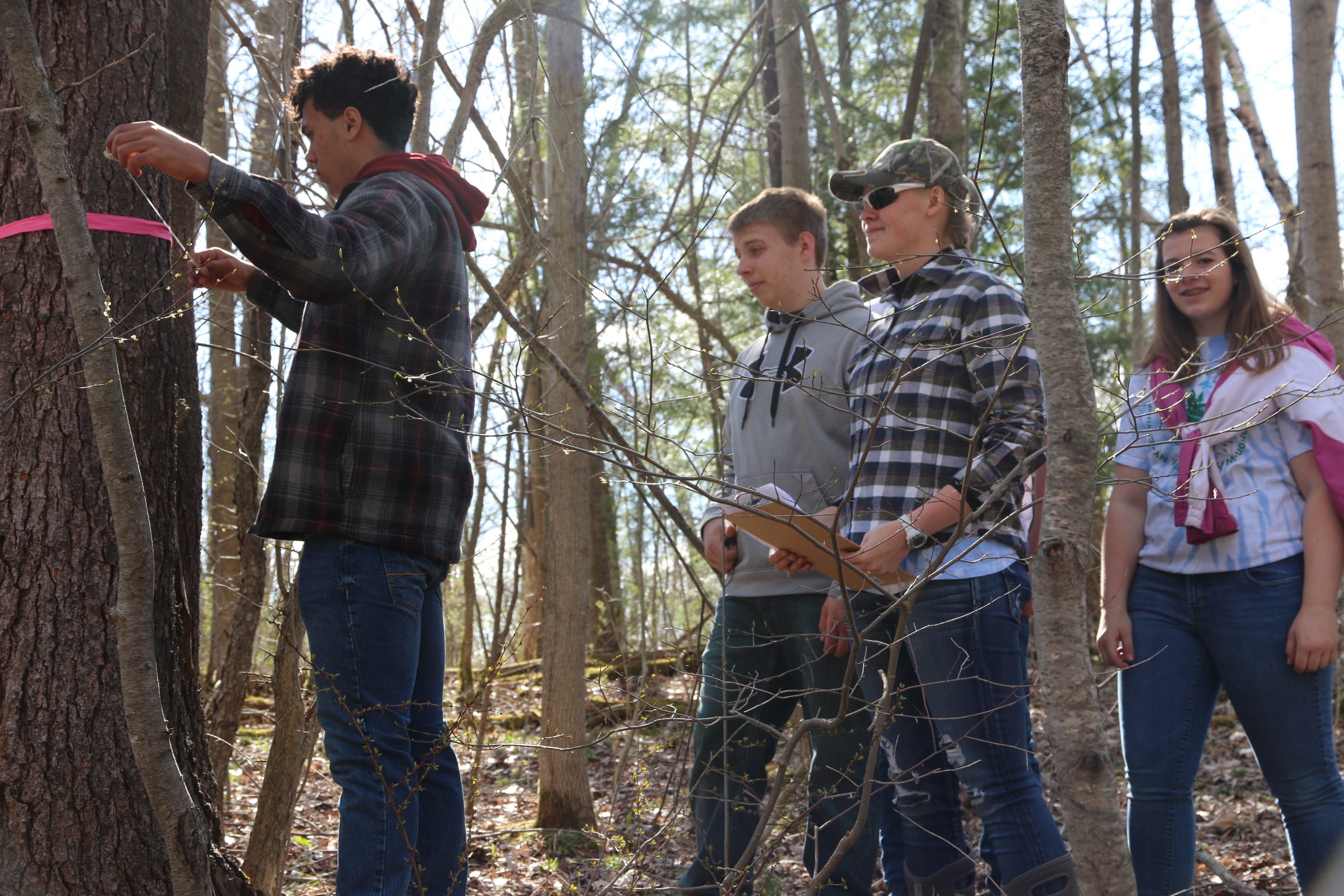
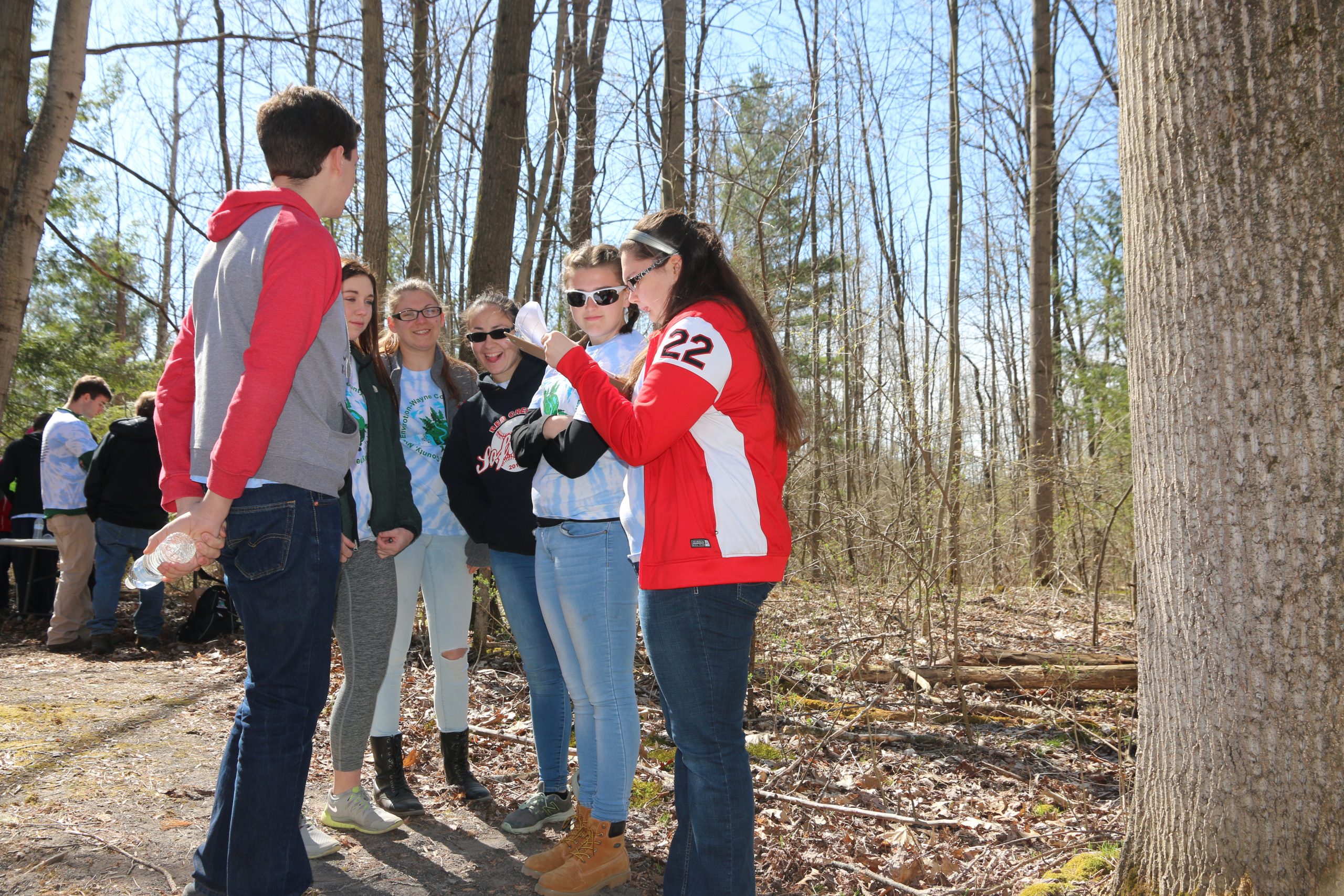
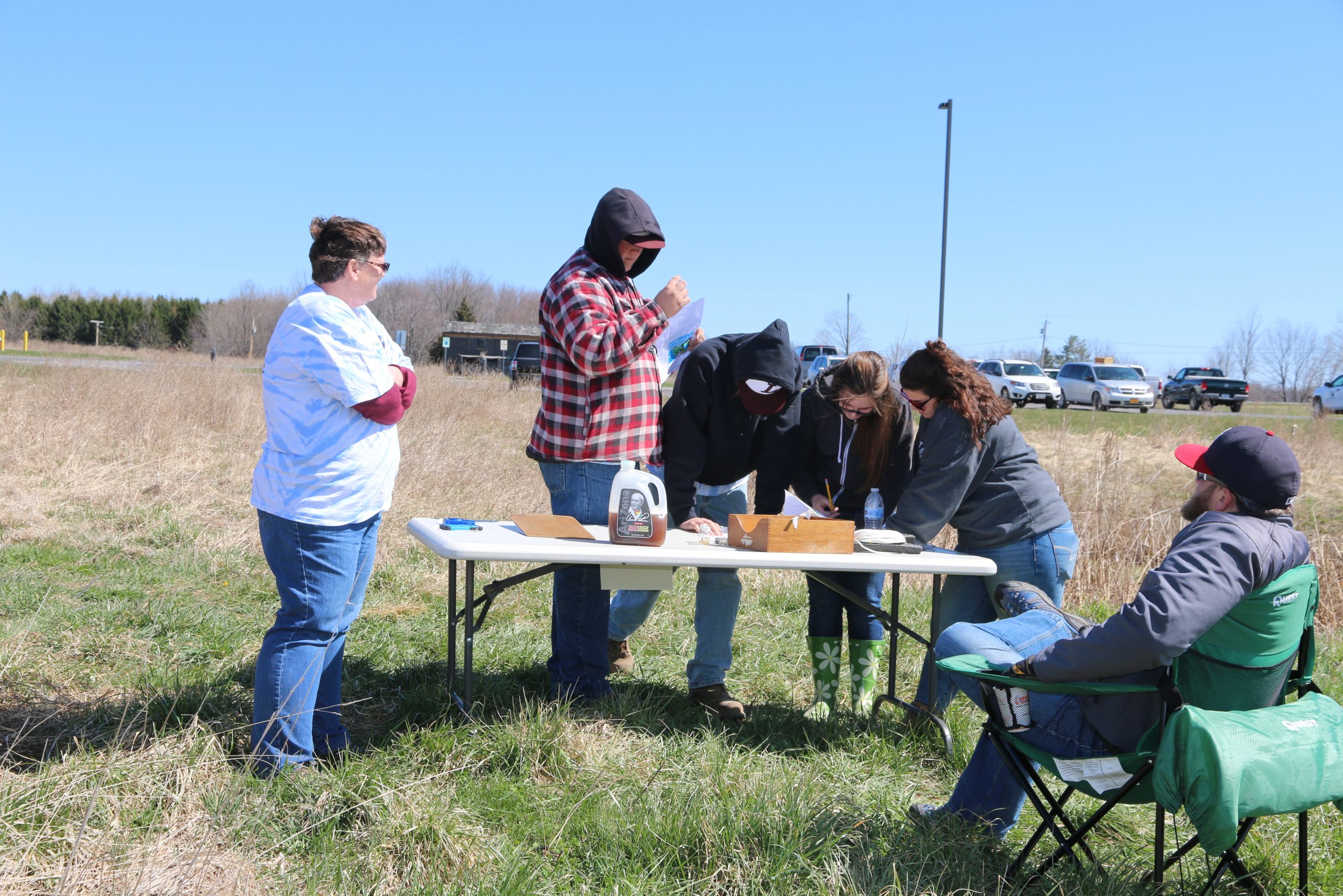
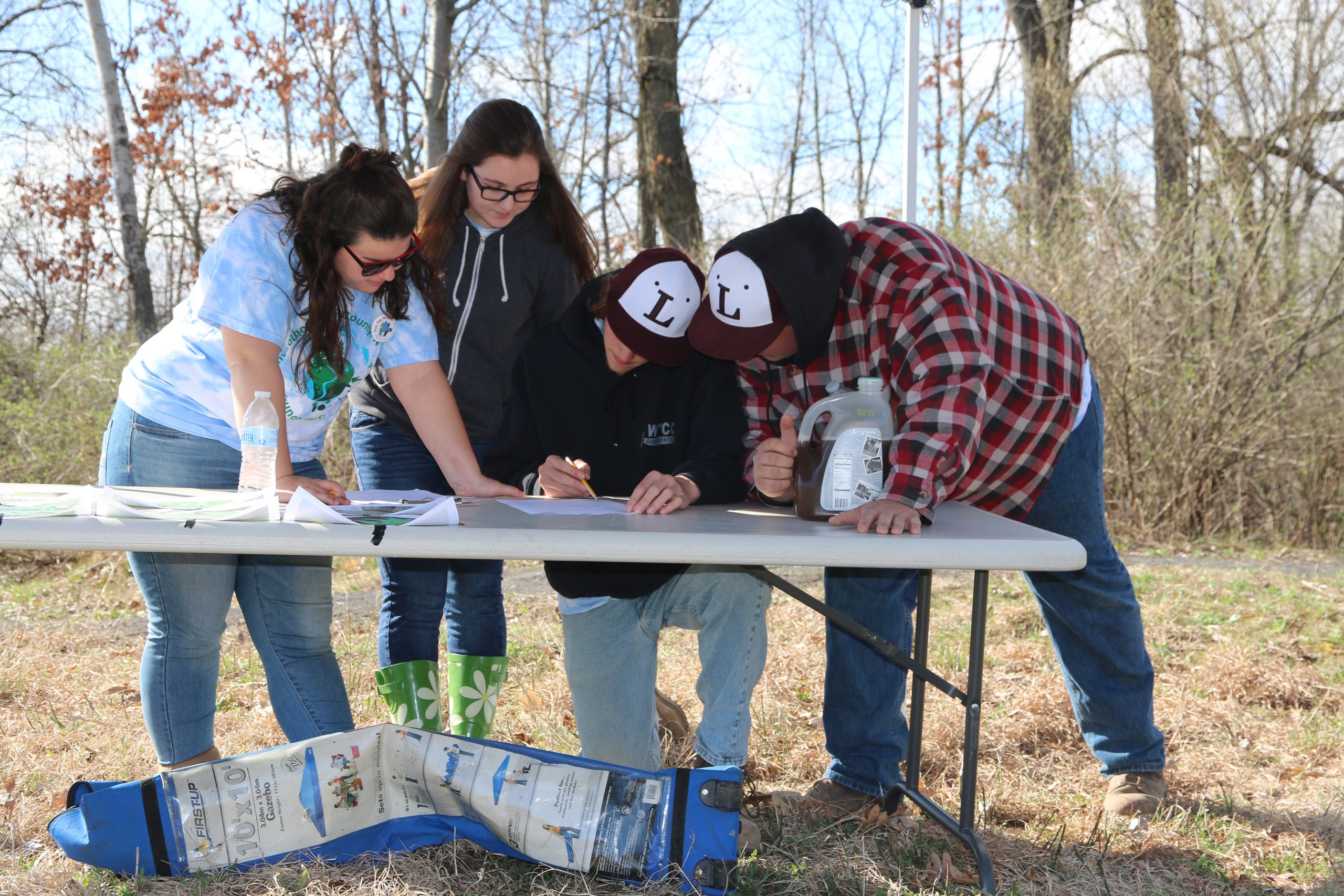
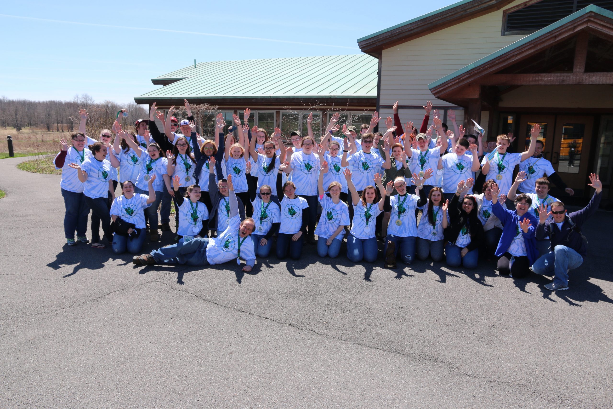
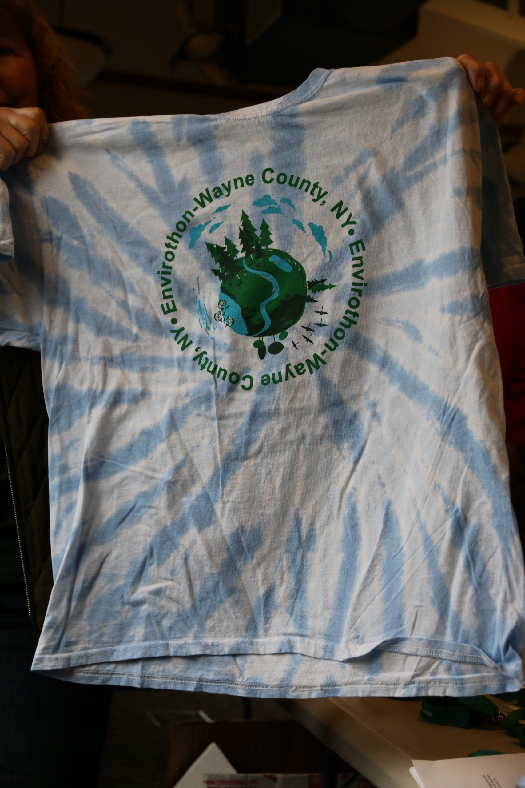
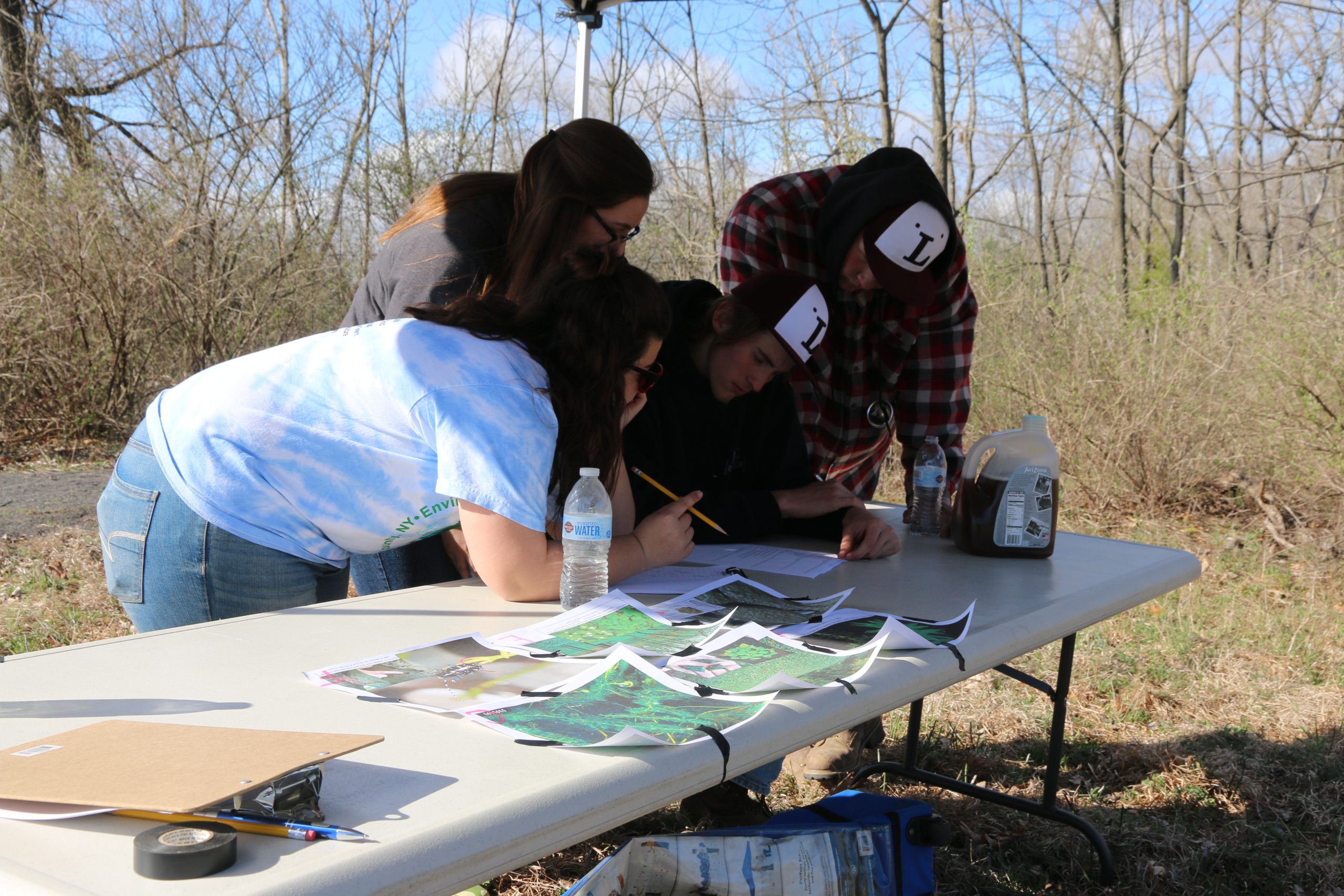
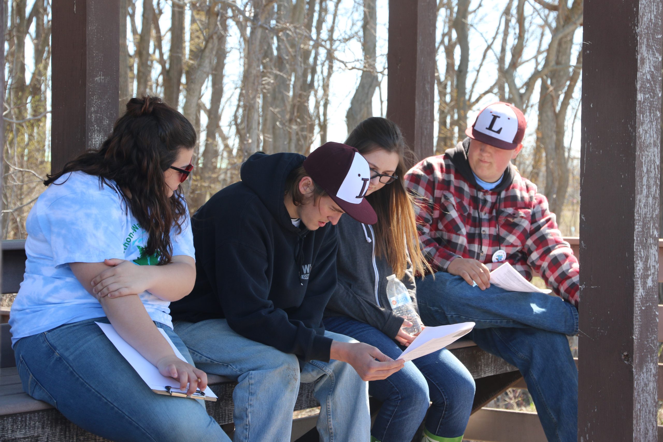
Wayne County Envirothon
K12 ACTIVITIES
Backyard Conservation
Invasive Scavenger Hunt
Nonpoint Source Kids Page
Pollinator-Friendly Guides
Ronny the Rain Drop
Project Wild
Project WET
Sammy Soil Coloring Book
Water Rocks!
Community Field Days
Water Quality
2015 Water Quality Strategy
The Hydrologic Cycle (PDF)
What is a watershed?
The Role of Wetlands
Build a Benthic Mat
Rain Gardens
Rain Barrels
Field Guide to Aquatic Plants
Stormwater Basics
FLLOWPA-Booklet
What is nonpoint source pollution?
Harmful Algal Blooms (DEC)
Well Owners Guide Book
Resources
Agriculture
Midwest Regional Climate Center
FSA Conservation Programs
Ag & Farmland Protection Plan (PDF)
Herbicide Reference, Cornell
NYS Integrated Pest Management Center
ACEP Ag Conservation Easement Program
Wayne County Ag & Farmland Map PDF
NRCS Conservation Programs
Cornell Crop Alerts
USDA Weekly Crop Bulletin
CAFO Operations FAQ .PDF
Cornell Cover Crop Guide
USDA Cover Crop Trends .pdf
Soil Survey Wayne County (PDF)
Soil Descriptions (PDF)
NY Soil Health News
Assessment- Soil Health
Drainage Guide NYS (PDF)
NRCS Soil Data Explorer
Waterfront Partner Inititives
— LWRP Sodus Point
— Port Bay (TMDL) P
Lake Ontario REDI
Port Bay REDI
Blind Sodus Bay Eastern Bluff
Federal, State & Municipal
EPA Clean Water Enforcement
Ontario-Wayne Stormwater Coalition
NY DEC MS4 Forms
Managing Stormwater /Structural Soil & Trees (PDF)
Coastal Lakeshore Economy and Resiliency Initiative
Healthy Port Futures
Maps & Charts
Wayne County Watershed Map
DEC Freshwater Wetland Mapper
FEMA – Map Viewer
Genesee Transportation Council Regional Map
Historical Aerial photos
NYS Drainage Basin (PDF)
NYS Ortho Mapper
NY Sea Grant – My Coast
NY State GIS Mapping
NOAA Now Coast
NOAA Digital Coast
NOAA Flood Exposure Mapper
Sodus Bay & Wolcott Wetland Maps (PDF)
USEPA Climate Change Adaptation Resources
USFWS Wetland Mapper
USGS flood inundation Mapper
USGS Water Data Mapper
USGS – Stream Stats Tool
USACE GL-Coastal Resiliency Study
Waterfronts
About the AVC Program
FAQ & Updates
AVC Policies (PDF)
AVC Operational Calendar
Living on a Waterfront
Home Owners Guide Book
Property Owners Folder Request
Field Guide to Aquatic Plants
Erosion Management GL Shorelines
Effects of Coastal Erosion
Great Lakes Shoreline Plant Guide (PDF)
What is a Living Shoreline? (NOAA)
SLELO – Aquatic Plant Guide
Water Quality Updates
Subscribe for WQ updates
Blue Green Algae
Report It, Avoid It! (PDF)
Blue Green Algae ID
Fl-lowpa Program Video (YouTube)
Ag Services
Order Soil Group Worksheet
Conservation No Till Drill Rental
Soil Testing
Culvert Enhancement Services
Hydro-seeding Services
REDI
REDI Projects Overview
Port Bay
Blind Sodus Bay Eastern Bar
Blind Sodus Bay Western Bluff
Crescent Beach
Scroll Up
Follow us on Facebook & Instagram
2025 Tree Sale
▼
2025 Tree Sale Order Form
2025 Tree Catalog
Tree Sale Store
Programs
▼
Ag Environmental Management (AEM)
Agriculture Drainage Assistance
Critical Area Seeding
▼
Critical Seeding Photos
Case Studies
–Galen and Walworth
NYS Grown and Certified
Habitat Boxes & Other Conservation Items
Water Quality Assessments
▼
Assessments
Recycle Event
Pond Management & Fish Sale
▼
Triploid Grass Carp Stocking Permit
DEC Permit
Order Barley Straw
Septic System Replacement
Education
▼
Conservation
▼
NY Natural History Projects
Why is ag. conservation important?
Conservation Landscaping
What is Green Infrastructure?
Living with Beavers
Understanding Soil
▼
Composting Slide Show
Water Diverter (Erosion Control)
Fun With Soils
Invasive Species
▼
National Invasive Species Awareness Week
Finger Lakes PRISM
PLAY-Clean-GO
Invasive Species Guide & Fact Sheets
Invasive Species Activity Workbook
Integrated Pest Mgmt Database
K-12 Educator Resources
BMP – Biology / Control of Aquatics (.pdf)
Weed Ecology – Cornell Edu
For Educators
▼
Wayne County Envirothon
K12 ACTIVITIES
Backyard Conservation
Invasive Scavenger Hunt
Nonpoint Source Kids Page
Pollinator-Friendly Guides
Ronny the Rain Drop
Project Wild
Project WET
Sammy Soil Coloring Book
Water Rocks!
Community Field Days
Water Quality
▼
2015 Water Quality Strategy
The Hydrologic Cycle (PDF)
What is a watershed?
The Role of Wetlands
Build a Benthic Mat
Rain Gardens
Rain Barrels
Field Guide to Aquatic Plants
Stormwater Basics
FLLOWPA-Booklet
What is nonpoint source pollution?
Harmful Algal Blooms (DEC)
Well Owners Guide Book
Resources
▼
Agriculture
▼
Midwest Regional Climate Center
FSA Conservation Programs
Ag & Farmland Protection Plan (PDF)
Herbicide Reference, Cornell
NYS Integrated Pest Management Center
ACEP Ag Conservation Easement Program
Wayne County Ag & Farmland Map PDF
NRCS Conservation Programs
Cornell Crop Alerts
USDA Weekly Crop Bulletin
CAFO Operations FAQ .PDF
Cornell Cover Crop Guide
USDA Cover Crop Trends .pdf
Soil Survey Wayne County (PDF)
Soil Descriptions (PDF)
NY Soil Health News
Assessment- Soil Health
Drainage Guide NYS (PDF)
NRCS Soil Data Explorer
Waterfront Partner Inititives
▼
— LWRP Sodus Point
— Port Bay (TMDL) P
▼
Lake Ontario REDI
▼
Port Bay REDI
Blind Sodus Bay Eastern Bluff
Federal, State & Municipal
▼
EPA Clean Water Enforcement
Ontario-Wayne Stormwater Coalition
NY DEC MS4 Forms
Managing Stormwater /Structural Soil & Trees (PDF)
Coastal Lakeshore Economy and Resiliency Initiative
Healthy Port Futures
Maps & Charts
▼
Wayne County Watershed Map
DEC Freshwater Wetland Mapper
FEMA – Map Viewer
Genesee Transportation Council Regional Map
Historical Aerial photos
NYS Drainage Basin (PDF)
NYS Ortho Mapper
NY Sea Grant – My Coast
NY State GIS Mapping
NOAA Now Coast
NOAA Digital Coast
NOAA Flood Exposure Mapper
Sodus Bay & Wolcott Wetland Maps (PDF)
USEPA Climate Change Adaptation Resources
USFWS Wetland Mapper
USGS flood inundation Mapper
USGS Water Data Mapper
USGS – Stream Stats Tool
USACE GL-Coastal Resiliency Study
Waterfronts
▼
About the AVC Program
▼
FAQ & Updates
AVC Policies (PDF)
AVC Operational Calendar
Living on a Waterfront
▼
Home Owners Guide Book
Property Owners Folder Request
Field Guide to Aquatic Plants
Erosion Management GL Shorelines
Effects of Coastal Erosion
Great Lakes Shoreline Plant Guide (PDF)
What is a Living Shoreline? (NOAA)
SLELO – Aquatic Plant Guide
Water Quality Updates
Subscribe for WQ updates
Blue Green Algae
▼
Report It, Avoid It! (PDF)
Blue Green Algae ID
Fl-lowpa Program Video (YouTube)
Ag Services
▼
Order Soil Group Worksheet
Conservation No Till Drill Rental
Soil Testing
Culvert Enhancement Services
Hydro-seeding Services
REDI
▼
REDI Projects Overview
Port Bay
Blind Sodus Bay Eastern Bar
Blind Sodus Bay Western Bluff
Crescent Beach