Keep Leaves Away from Storm Drains

storm_drains
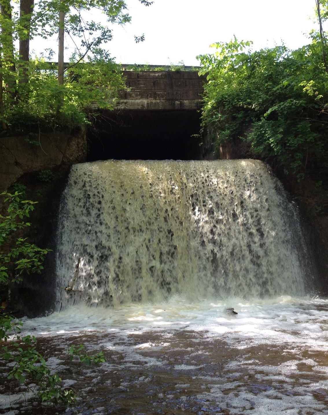
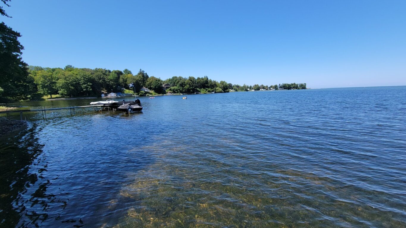
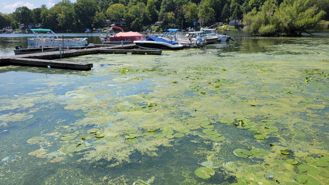
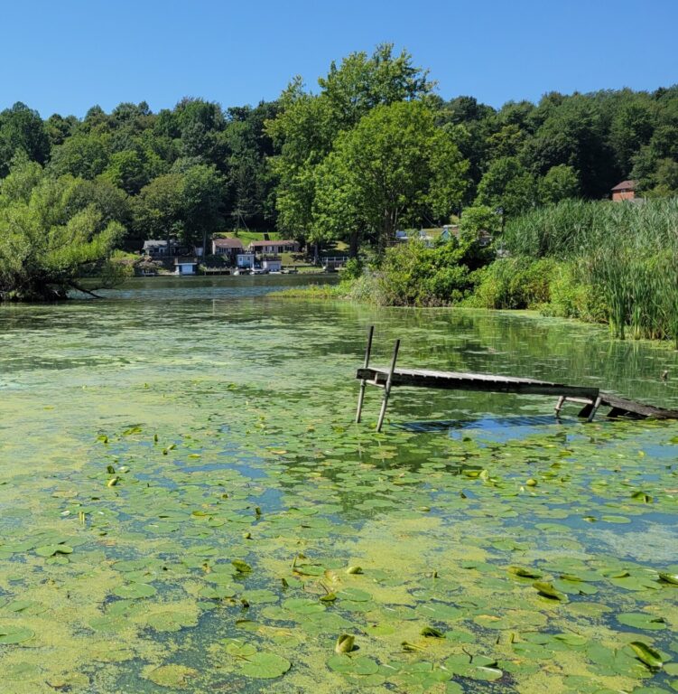
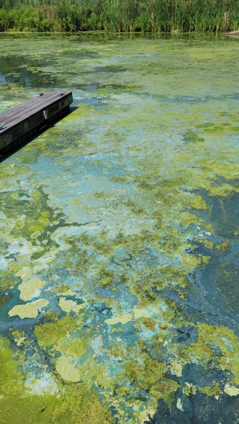
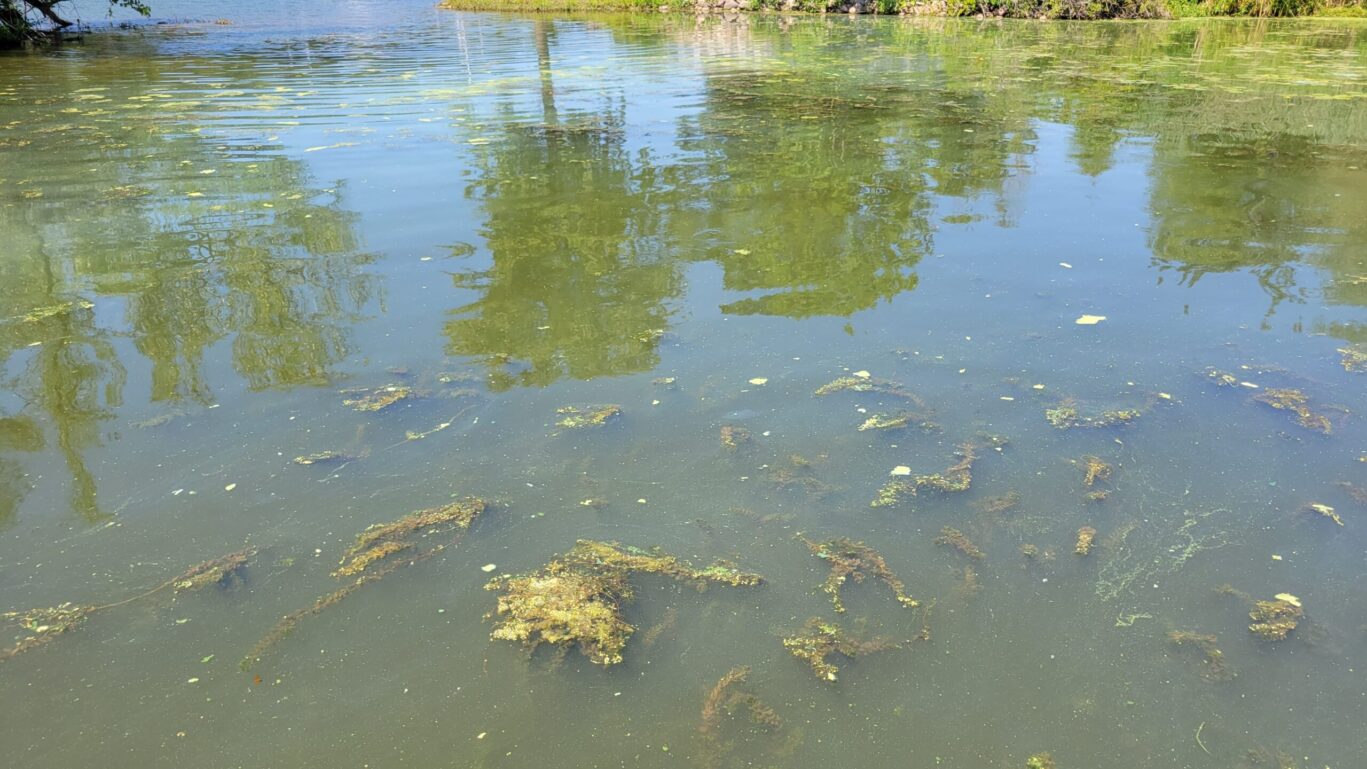
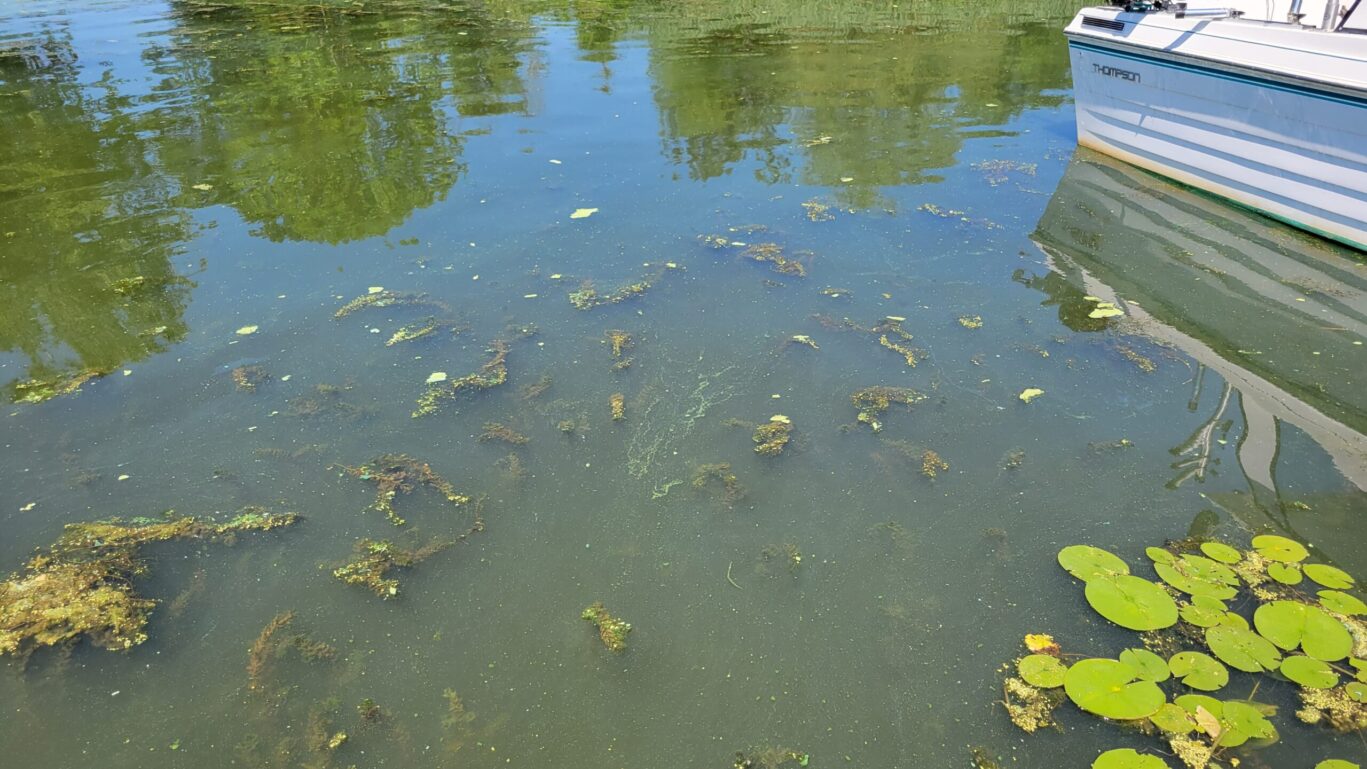
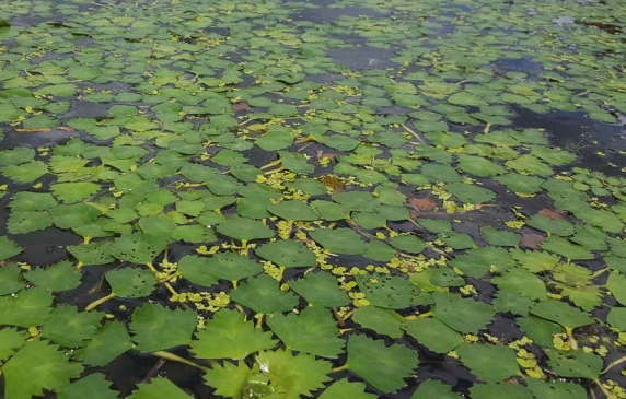
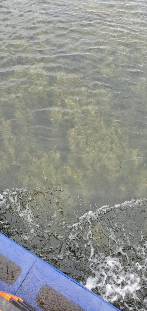
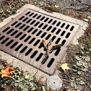
Now is the time of year to be conscious of the yard and garden clean-up. Make sure you keep leaves and grass out of storm drains.  Fallen leaves and grass clippings can plug storm drains and can cause flooding to our roadways.  If yard waste such as leaves, grass clippings, and small twigs are disposed of in a storm drain, they will make their way to a natural body of water where they threaten aquatic life and degrade water quality.

Don’t feel obligated to rake up every last leaf in your yard this fall. Let some leaves stay on the ground — they have many benefits to wildlife and the garden. A composting-leaves
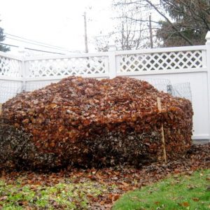
leaf layer sometimes called duff, several inches deep is natural on forest floors. This leaf layer is its own mini-ecosystem! Many wildlife species live in or rely on the leaf layer to find food like earthworms and other beneficial microbes.

From a gardening perspective, fallen leaves offer a double benefit. Leaves will form a natural mulch that helps suppress weeds and at the same time fertilize the soil as they break down. Why spend money on mulch and fertilizer when you can make your own? Here is a great video on how to create leaf mold, it takes a few years, but it is considered garden gold. Farmer’s Almanac  page.

If leaves must be racked, don’t throw them in the trash. Compost them or drop them off at a municipal recycling center so they can be turned into compost that you and other members of your community can use in the spring. Some communities even offer curb-side pick up of leaves specifically for municipal composting operations.

  1. Leaves make good insulation for overwintering tender perennials. The best time to mulch perennials is after the ground has frozen, so put aside shredded leaves in bags to use later in the fall.
  2. Mow leaves and clippings into the lawn, lawns actually benefit from thin layers of leaves. Leaf litter improves the soil, lessening the need for fertilizer in the spring.
  3. Leaf humus can lighten heavy clay soils, so leave a layer in the garden.
  4. Leaves increase the moisture retention of dry, sandy soils.

The Wayne County Master Gardeners can offer more information, visit http://ccewayne.org/gardening-home-grounds

Happy Raking!


Blind Sodus Bay and Port Bay REDI Project Updates Available

Port Bay, Wayne County NY

In response to the extended pattern of flooding along the shores of Lake Ontario and the St. Lawrence River, the Resiliency & Economic Development Initiative (REDI) was created to increase the resilience of shoreline communities and bolster economic development in the region. Wayne County in partnership with the New York State REDI program has committed to working together on addressing resiliency shoreline issues and has been in the process of choosing priority projects across the County since June 2019. The Wayne County Project Profiles provides a full overview of the projects chosen for Wayne County.

Wayne County Soil & Water Conservation District (WCSWCD) is working in collaboration with Wayne County as a general contractor to address shoreline resiliency needs for the Port Bay Barrier Bar System and the Blind Sodus Bay Bluff and Barrier Bar System.

The District is pleased to announce project information and updates are now available.  Updates include project history, story maps, engineering design reports, project profiles, SEQR reports, and more.

Follow these links to the project reports:

REDI Project Updates

      • Project Overview
      • BLIND SODUS BAY, Bluff and Barrier Bar System – WCSWCD collaborating with Wayne County as a general contractor
      • PORT BAY, Barrier Bar System – WCSWCD collaborating with Wayne County as a general contractor

At the bottom of the two project pages, there is a way for the public to make comments. The District hopes a 90% project report will be released by the end of the year.

Water Quality Awareness update August 13th-26th

Sw

Second Creek increased streamflow. This is an important part of a natural cycle because of its impact on water quality and the living organisms and habitat in our streams.

As we enter the final week of August, we can see the end of summer just around the corner. All of the recent precipitation has provided a stark contrast to the weather from May and June. Over the past two weeks, we have seen the aftermath of tropical storm Fred and additional passing showers from Hurricane Henri’.

Rainstorms are categorized by their rainfall intensity and frequency of occurrence. This is determined by calculating the amount of rainfall per hour, or the total rainfall for a 24-hour period. For example, in Wayne County, a one-year storm event will drop 1.9” of rain over 24 hours, whereas a 100-year storm will provide between 5” to 5.5” of rain for the same time period. The intensity is the amount of rain falling and the frequency is listed as the 1-year or 100-year storm. The frequency represents the probability that a storm of that magnitude will occur. In other words, it is a safe bet that Wayne County will receive a storm that drops at least 1.9” of rain over a 24 period, or 0.08” in an hour. On the other hand, there is a 1% chance (1/100) that a storm will drop at least 5” of rain over a 24-hour period. Between 1” – 1.5” of rain was forecasted to fall throughout the County on the 18th. Lyons received nearly 3” of rain over the course of the day, which puts last week’s storm at about a 10-year storm event for the region. This high-flow rain event had an immediate impact on our local streams and rivers.

FL PRISM – NYS Parks On Water Chestnut Awareness Event – Hand Harvesting Water Chestnut – Black Creek

In other news, Wayne County wrapped up its Water Chestnut hand pull season on Friday, August 13th. A patchwork crew from FL-PRISM and NYS-PRHP (Parks) surveyed a new location within the Black Creek Unit of DEC’s Lake Shore Marshes Wildlife Management Area. The crew of seven had to carry kayaks 1/2 mile to and from the hand launch due to a fallen tree blocking the access road. 1.25 miles of stream corridor was surveyed, and a small population of water chestnut was found towards the end of the stream. The infestation was documented, and all the invasive plants were removed from the wetland within an hour of finding them. After reporting to NYSDEC, it was determined that this will be a targeted area for next year’s management efforts.

At first glance, this event may seem insignificant, but it highlights some critical points for invasive species control. First and foremost, the working partnerships between agencies are critical for keeping up with landscape-wide surveying and management. Secondly, since this infestation is relatively small, this site is a great candidate for eradication with one to two annual management events.

Wayne County Soil and Water Conservation District has hosted five water chestnut awareness events this season. Work was done in 4 locations with 75 people, 21 hours on the water hand pulling and surveying for this invasive species.

At the end of the day, the District and Partners covered over 4 miles of streams and removed ~2650 lbs. of water chestnut.

Water Quality Observations and Updates 08-05-2021

sheltered coves have an accumulation of duckweed and filamentous algae on the surface and dense concentrations of aquatic plants.

Port Bay -sheltered coves accumulation of duckweed and filamentous algae on the surface.

Blind Sodus Bay is currently in a clear state in the south half of the bay. There is low planktonic algae biomass and sediment that isn’t being disturbed by wind and waves. The southern shallows of the bay are dominated by Flat-stem pondweed (Potamogeton zosteriformis) with some sparse Eel grass (Vallisneria americana) also present. The high rooted plant biomass is most likely attributed to clear water and less algae.

Port Bay is currently in a turbid state throughout the bay. The water has a green hue and visibility is less than 1.5 feet. There’s some sparse milfoil visible growing up to the surface. The sheltered coves have an accumulation of duckweed and filamentous algae on the surface and dense concentrations of aquatic plants. The algae may be limiting the amount (biomass) of rooted aquatic plants underneath it in certain areas. The large biomass of planktonic algae may be a result of continuous nutrient recycling in relation to the depth of the bay and the ability of wind to cause mixing. There is an isolated Blue-green algae bloom occurring in the marina of the Port Bay RV and Campground. People in this area should limit possible exposure to themselves and pets.

Sodus Bay is in a semi-turbid state. With a flush of organic material-rich tributary water from the watershed a few weeks ago and the bay possibly thermal stratifying, there is an abundance of food (nutrients) in the water column.

`
Thermal Stratification – the trend of impoundments to form separate and distinct thermal layers during warm weather. There are usually three distinct layers:

        • Epilimnion comprising the top warm layer,
        • Metalimnion (or thermocline): the middle layer, which may change depth throughout the day, and
        • Hypolimnion colder layer extending to the floor of the waterbody.

The hypolimnion can become depleted of dissolved oxygen in summer because of the biological oxygen demand of bacterial decomposers, reduced photosynthetic activity, and the minimal mixing with upper layers. Anoxia, or absence of oxygen, in the bay’s sediment, has been strongly correlated with internal phosphorus loading to the water column. The soluble phosphorus released is readily available for uptake by algae.

NYS DEC Reminder: Report Observations of Cladophora Along NY’s Great Lakes Shorelines

Please let the NYSDEC know if you see the filamentous algae, Cladophora, by using the online observation form. Thank you in advance for helping us understand where, when, and the extent to which Cladophora is accumulating along our Great Lakes shorelines. Email GLCladophora@dec.ny.gov if you have any questions.

NYS DEC How to report a Suspected Algal Bloom? (Click here)

Water Chestnut in the Waterways of Wayne County

Water ChestnutWater chestnut (Trapa natans) can be found this time of year in many of the waterways in Wayne County.  The newest infestation was found in 2018 at Port Bay and is being managed strictly by hand-pulling.  It is major nuisance because these dense mats of rooted vegetation are very difficult to get through in a boat, kayak, canoe, or when swimming. For water quality alone, Water Chestnut completely depletes the oxygen by pressing down from the surface, heating the water columns, and prohibiting water movement because of the long-rooted tendrils beneath the rosette.  Water chestnut spreads by rosette and fruits detaching from the stem and floating to another area and by clinging to floating objects including recreational watercraft, the pads of boat trailers, and fishing equipment. In addition, the dense mats shade out native aquatic plants that provide food and shelter to native fish, waterfowl, and insects. Decomposition of these dense mats causes dissolved oxygen levels that may kill fish and then nutrient recycling causes the next generation to return stronger than before.

#waterqualityupdates #waterchestnut #invasivespecies

What you need to know about Water Chestnut:

*In NY, Water Chestnut is an annual. It does not propagate from fragmentation and can have up to 3 stands in NY

*1 Seed Pod can produce up to 144 plants and stays viable for up to 10 years and even if dislodged and floating can still repropagate.

stem and pod

Water Chestnut Seed Pods

Water Chestnut Seed Pods

*Management techniques vary by waterbody but harvesting this Annual Plant by hand pulling or mechanically the rosette before they produce their seed, mitigates several next generations and will open up waterways for other native vegetation to return creating habitat and flow for better water quality

Currently, New York State Parks Recreation & Historic Preservation & Finger Lakes Partners of Regional Invasive Species Management are partnering with the District to address several areas that cannot be managed by mechanical harvesting in Wayne County to hand-pull under NYSDEC permits. It will take years of management to address some of the seedbeds in Wayne County. Some of the oldest “seedbeds” of water chestnut include East Bay, South of Sodus Bay Bridge, and Second Creek. Thank you to SOS and SBIA for continued efforts in addressing stands on Second Creek, the inlet at the end of Grieg Street in Sodus Point, and Clark Creek.  Without partnership, management would not be possible.

Weekly Water Awareness Conditions Report 7-8-2021

Conditions Report

Due to sporadic wind and weather events, all of the 6 Wayne County embayments are experiencing several natural but hindering occurrences in their waterways. These occurrences include:

  1. Natural breakoff of aged vegetation “weed” stands which is causing floating weed mats. The intensity of the winds on the water will help to break these weed mats up and recycle them to the system, however, if they get caught in docking areas or in-between boats or other recreational vehicles they will likely just stay there.
    1. Best course of action is to rake/remove the individual mats so they do not cause additional algae development in the shallower waters around your waterfront.
  2. Turbidity of the water is normal during higher wind and wave events which will settle out about 24 hours after the storm. This is helpful because it is a mixing of the water columns and will aid in nutrient uptake from plant releases.
  3. Cladophora are nutrient releases from the substrate (soil) from the waterbody completing a nutrient cycle. (a turn over) These smelly blobs float around for about 72 hours in normal conditions before recycling to the bottom and refueling vegetation stands.

Water levels are remaining consistent at the 2.45.17-245.21 levels on the Lake this week but are still impacted by the winds from the Southwest and Northeastern storms earlier in the weekend. Due to the increased lower waters, despite the relative consistent Lake Levels, the bays each saw a 2-3 inch decrease over the entire waterbody from week (7/1) to week (7/7). This is likely a related impact due to vegetation break off and wind.

The water levels on all of the bays and Pultneyville Harbor saw periodic changes in water levels closest to their tributaries for about 24 hours after storms go through the area.

Why is it important to note the weather upland from your waterfront? Because this can aid you in planning for changes in the water, and as the season goes on, some additional water support for removing boats, rafts etc.

Follow us on Facebook & Instagram